Petersfield to Cocking |
||
| West: Petersfield to Exton | Back to Index | East: Amberley to Cocking |
Introduction
This walk begins from Petersfield to the north of the downs, returning to the South Downs Way near Buriton. From here the path follows farm tracks and minor roads for the first few miles then climbs to Harting Down, typical downland overlooking South Harting. The path continues east with excellent views for most of it's length before descending down to the A286 south of Cocking.
Getting to the Start
I chose to start this walk from Petersfield as it has much better public transport, as there is poor transport from Buriton. Petersfield is just off the A3 (London to Portsmouth Road). Exit the A3 and join the A272 east bound (signed for Midhurst) then follow the signs to the town centre where there is plenty of car parking. Another option is to drive to Midhurst as there are buses from here to Petersfield and to Cocking at the end of the walk, avoiding the need to change buses when returning to the start. Midhurst is on the A286 and A272 and there is (currently) free parking in the town.
By public transport, Petersfield has a station and is on the London to Portsmouth line with frequent trains to Havant, Portsmouth, Haslemere, Guildford, Woking and London (Waterloo) as well as more local services to Rowlands Castle, Liphook and Liss, all operated by South West Trains. Minerva Accord bus service 95 does run a few times a day (Monday - Saturday) from Petersfield (Square) to Buriton (for details call 01243 753100), avoiding the walk from Petersfield to Buriton. There are many other local bus routes from Petersfield too.
The Walk
Due to the poor public transport from Buriton this walk starts from the market town of Petersfied. From the square go down St Peter's Road to the main road (Dragon Street). Here turn right and follow the main road. At the junction, turn left into Sussex Road. Soon to the right you see a sign for a footpath to Buriton which you take, passing through fields and over the small stream. Continue through fields and over the stream again before entering the woods of Nursted Copse. Here the path climbs (and can be muddy) to emerge into another field.
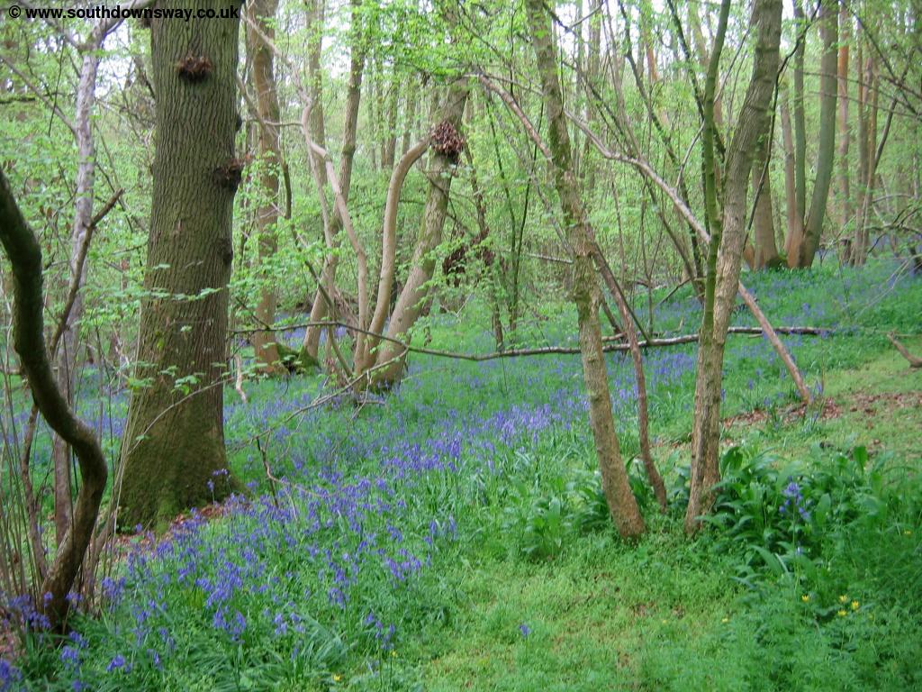 |
| Bluebells in Nursted Copse |
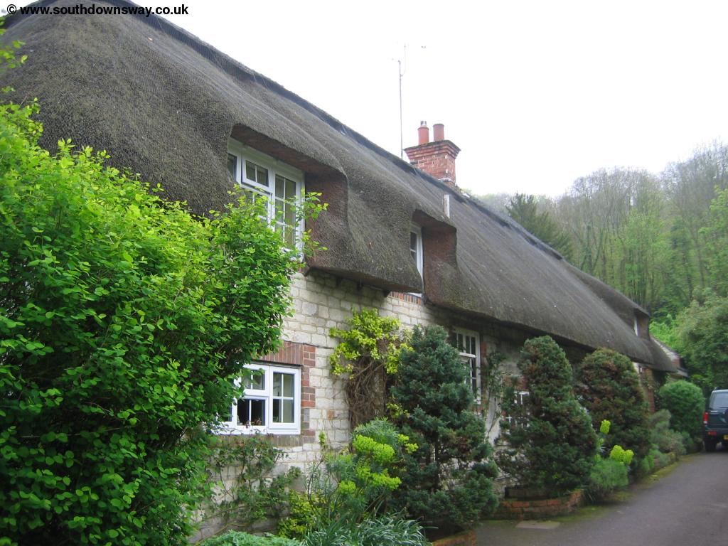
You then follow the path round the edge of the trees to your left. Behind the trees is Nursted House but you can't actually see the house from the path. Soon the path turns to the right and joins the road beside a cottage. Continue past the cottage on the road (it's not especially busy) until you get to the gates of Buriton House. Here follow the main road slightly to the right to come into the pretty village of Buriton with it's church and village pond.
 |
 |
| Buriton Church | Buriton Church |
 |
|
| Cottages in Buriton |
Take the path round the pond, keeping the water to your left, and head down South Lane. The path then climbs away from the pond under the railway bridge and climbs through trees to a small car park, the edge of the Queen Elizabeth Country Park. Here turn left to re-join the South Downs Way. The Way initially follows the road to Dean Park where you pass over the railway line which is now in a tunnel passing under the downs. At the top of the hill there should be good views although for this part of the walk I found it rather misty.
 |
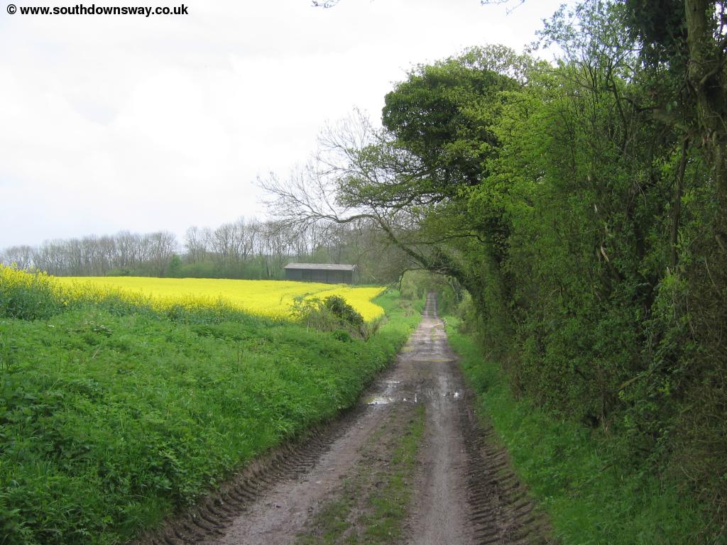
| The path near Buriton |
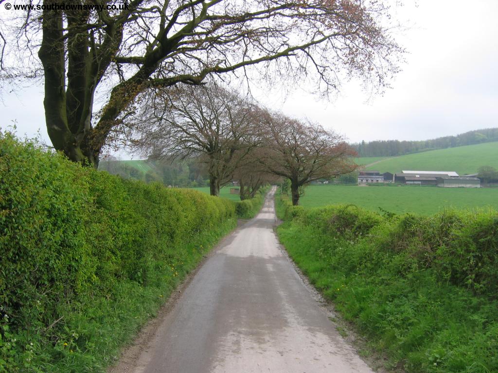
Continue along the road as it becomes a track (which can get very muddy). There are several tracks off to the right here but the main path is straight on. Soon you pass Coulters Dean Farm where the track becomes a road once more. Continue on the road as it twists round and comes to a junction by North Lodge. Here, somewhat to my suprise, there is a sign for a school at the end of this lane, a rather remote location. Continue straight on down the road as it descends towards Sunwood Farm, with a pleasant row of trees lining the left-hand side of the lane.
 |
| Approaching Sunwood Farm |
At the farm the path turns slightly to the left and back onto a track which, as before, can get very muddly in places. After around half a mile you come to a junction of paths on a small track. Turning left or right will take you onto the Sussex Border Path, indicating the South Downs Way is now crossing from Hampshire into West Sussex. Continue across the road straight on onto Forty Acre Lane, another often muddly lane.
 |
| Forty Acre Lane |
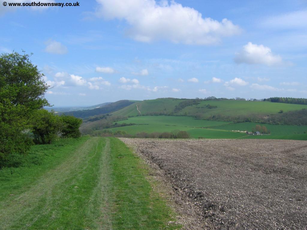
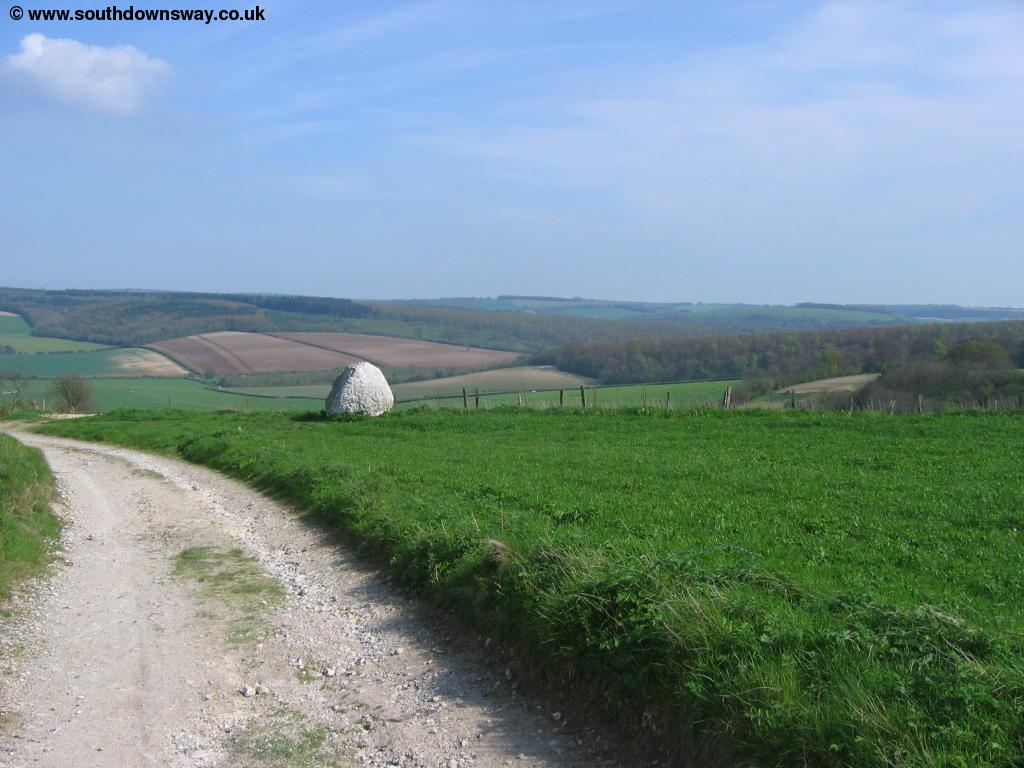
Here you pass briefly through two rows of trees before you come to a slightly busier road. To the right down this road is the National Trust property of Uppark. Striaght ahead you can now see the tower on top of the hill, now in ruins. The South Downs Way does not actually pass this tower, but the land is signed as Access Land so you can choose to walk up to it. Instead the South Downs Way takes the path through the woods, with the road down to your left. The path climbs through the woods and you emerge onto the top of the hill by a car park. The path is now coming to Harting Downs and you're rewarded with lovely views to the north over South Harting village. This point marks a transition of the path from typically fields and woodlands to the more open land on the top of the escarpment, providing excellent views.
 |
 |
| South Harting from Harting Downs | Harting Downs |
 |
 |
| South Harting | East Harting |
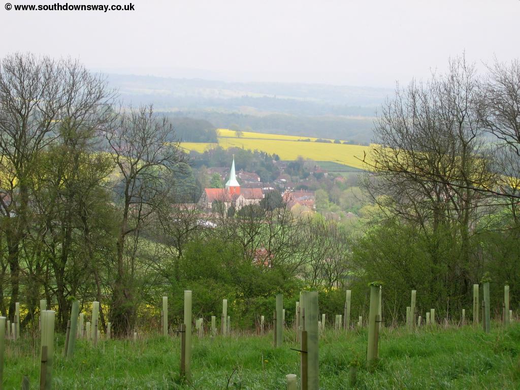
Continue on the grassy path over the downs where you enjoy views over to South Harting and East Harting.
 |
| The path ahead |
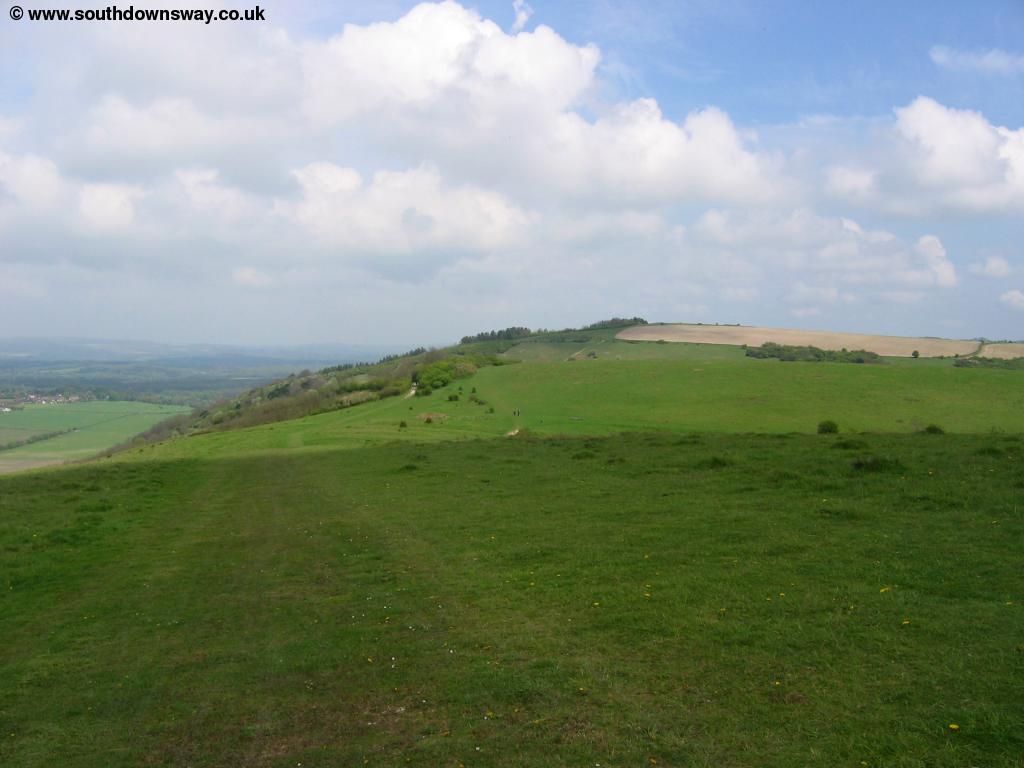
Soon you briefly head through woods and come to the edge of Beacon Hill, a steep chalky hill ahead. Here the map indicates that the South Downs Way turns right, going round the edge of the hill, but the signs do appear to point you up to the top of the hill. Whichever is the official route I took the path to the top of the hill, which has stunning views in all directions making the steep climb worthwhile.
 |
 |
| View from Beacon Hill | View from Beacon Hill |
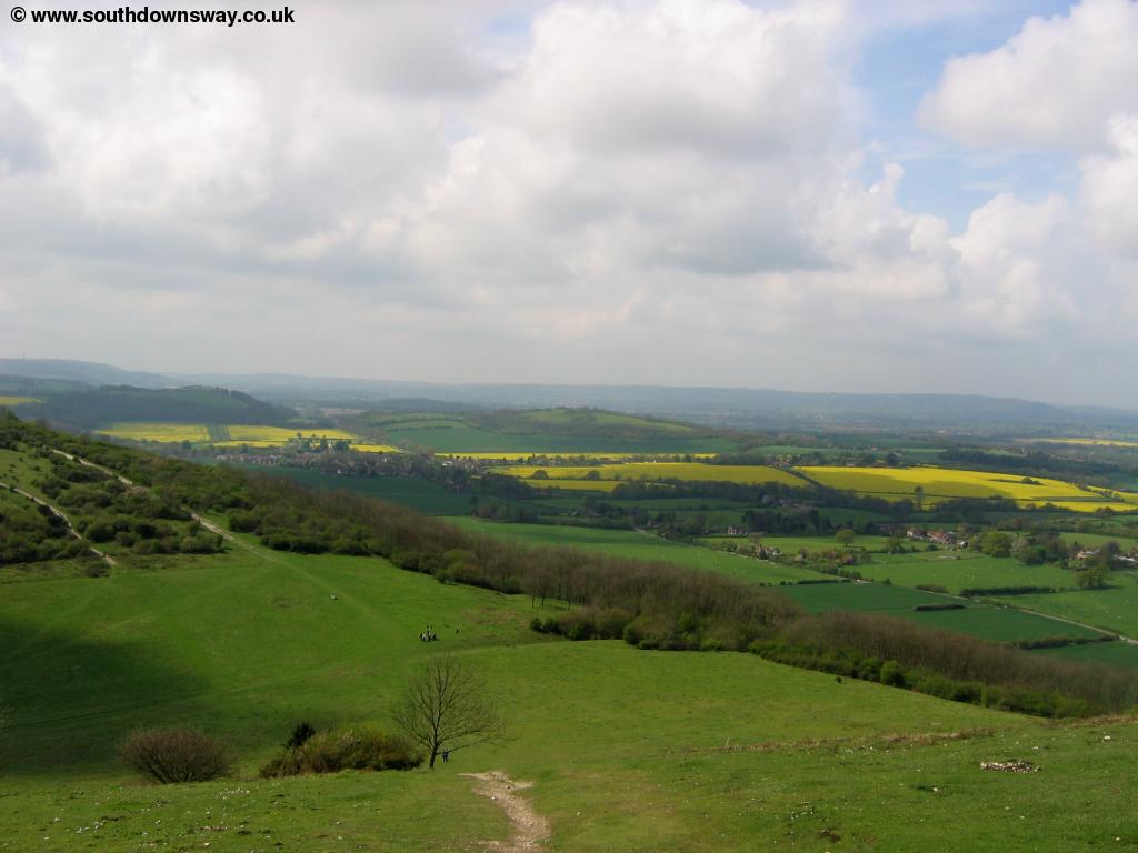
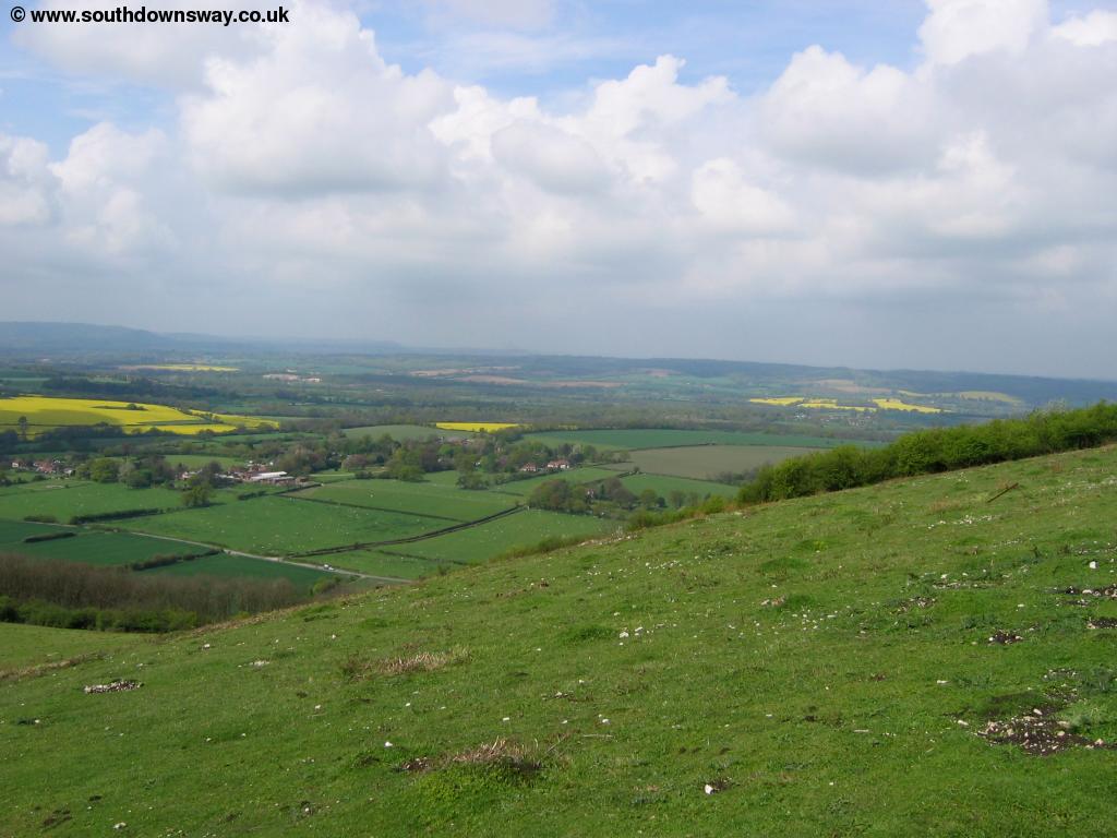
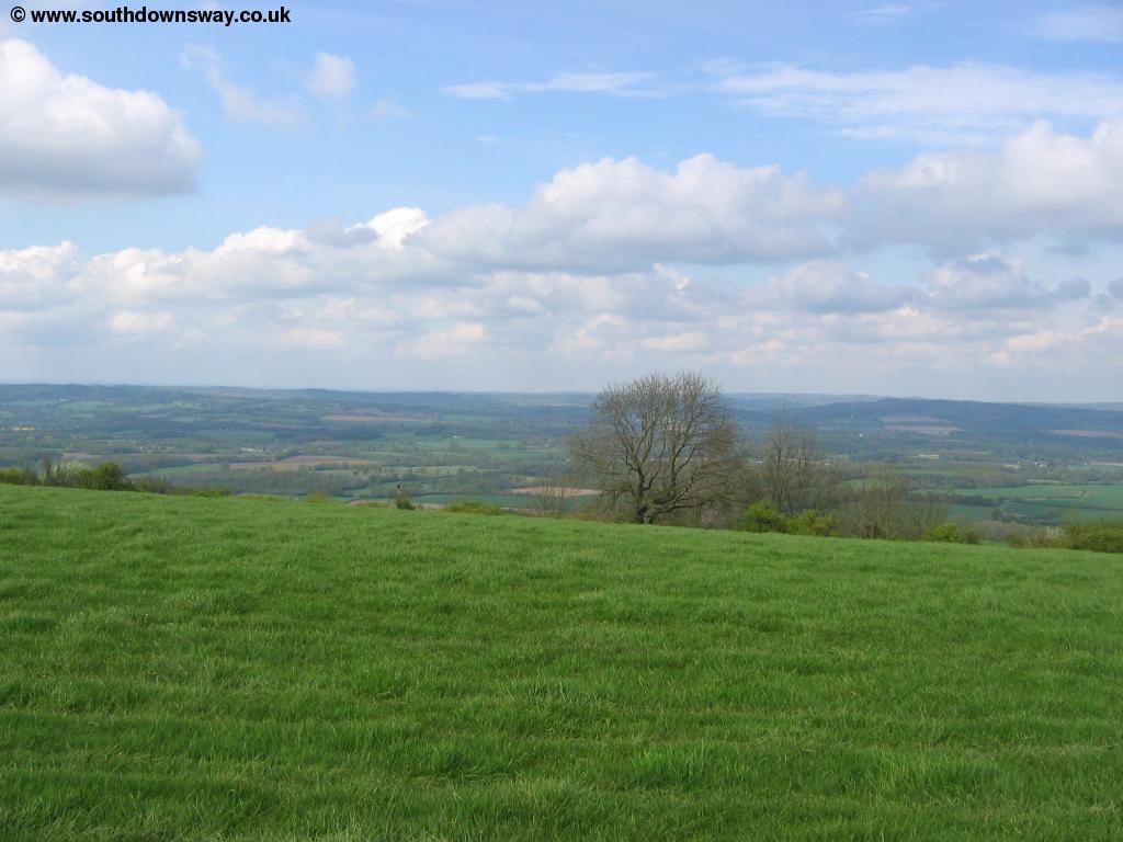
A trig point is at the top of the hill, as is a National Trust sign indicating the towns and other places of interest that you can see from the top. Continue down the other side of the hill as it descends slightly before climbing to the top of the next hill, Pen Hill. Here the trees to the left limit the view, but you still have lovely views to the right and of the path ahead of you.
 |
 |
| View from Pen Hill | View from Pen Hill |
The path now turns first to the left then the right as it descends towards Buriton Farm.
 |
 |
| View towards Buriton Farm | The path down to Buriton Farm |
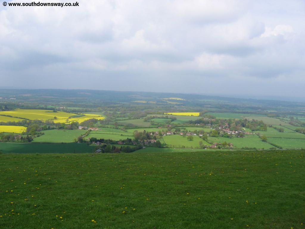
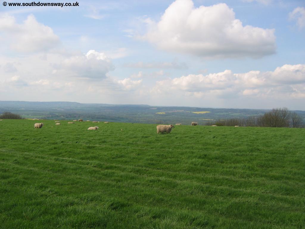
The path comes to another track by Buriton Farm where you turn left and then right shortly afterwards climing up towards the woods. The path now heads through the woods to emerge at a junction of paths. Here oddly the path behind is not signed as the South Downs Way (although the path onwards is), so worth rembering if you're walking in the opposite direction. At this junction of paths you turn to the left with the trees to your right. Soon the path turns to the right through another clump of trees, part of a large area of woodland to the right. The path curves round to the right at the top, with Monkton House just out of sight to the right. As you emerge from the trees you climb to Didling Hill where you have excellent views to the north.
 |
 |
| View from thew downs | View from thew downs |
 |
|
| View from thew downs |
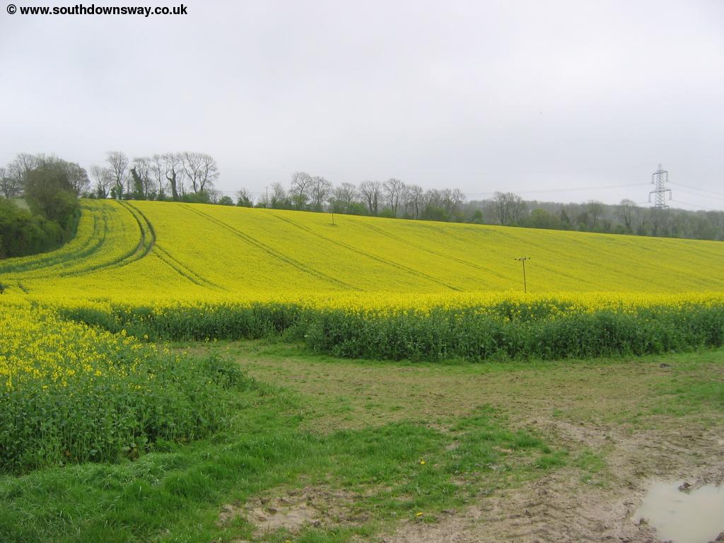
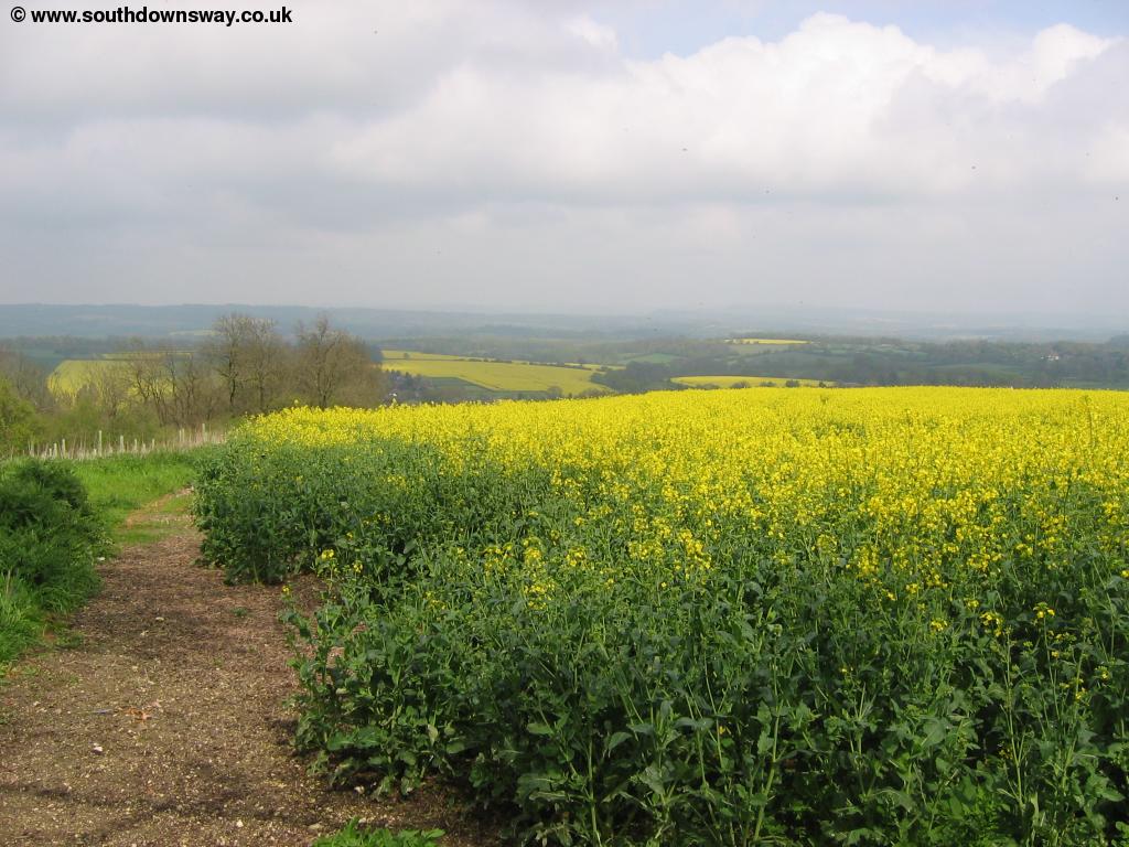
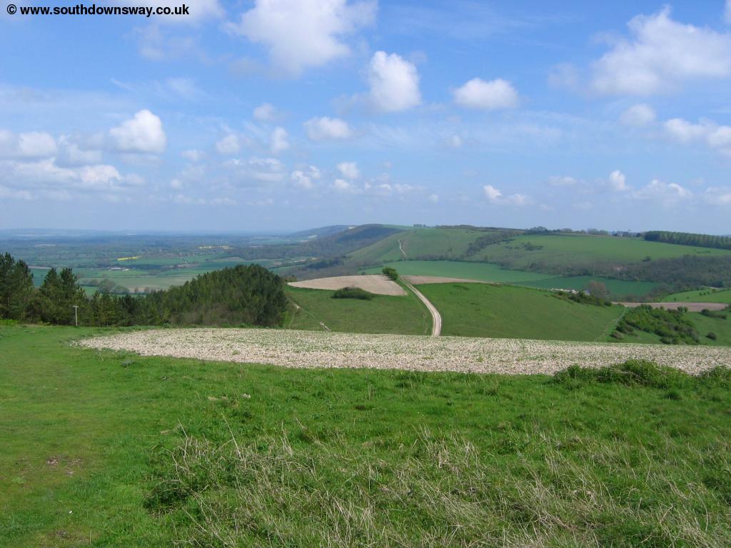
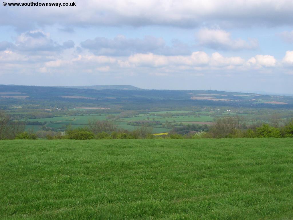
Continue to Linch Ball hill and on to Cocking Down. From Cocking Down you can again enjoy views to the north. To the south Chichester Cathedral can be seen on a clear day. From Cocking Down the path now starts to descend to the road below. As you come to Cockinghill there is a path that takes you into the village of Cocking. Continuing south you come to the main A286 road where there is a bus stop. Buses from here head north to Cocking and Midhurst and south to Chichester and Bognor Regis. Ahead you can see the path climbing away from the road again.
 |
 |
| The path descending towards Cocking | The path descending towards Cocking |
Getting Back
From the A286 Stagecoach bus 60 runs every 30 minutes (Monday - Saturday) and hourly on Sundays to Cocking and Midhurst to the north and to the south it goes to Chichester and Bognor Regis. To get back to Petersfield change buses at Midhurst onto the bus number 91/92/93 also operated by Stagecoach. This runs broadly hourly (once every 2 hours on Sunday) from Midhurst back to Petersfield. This bus is usually timed to depart around 5 minutes after the bus from Cocking arrives, so you shouldn't have long to wait. This bus also serves Petersfield station if you're travelling further afield. Sadly I found this bus service to be very poor - it was 5 minutes late leaving because the driver got off to chat to another driver. Later in the journey it got delayed by another 10 minutes whilst the driver had to reverse down a hill to let some horse boxes past only to get another horse box behind too which was unable to reverse round the corner. A mini bus would surely be more appropriate on this route. Finally Stagecoach service 70 runs hourly (Monday - Saturday only) to Haslemere (passing the station), Witley, Milford, Godalming, Farncombe and Guildford.
Links
The following web sites provide information on the area.
Every effort is made to ensure the accuracy of information on this site, but liability will not be assumed in the event of any inaccuracies. Use of the information on this site is at your own risk. If you find any errors, please use the link below. The text and photographs on this web site are all Copyright © and may not be reproduced without prior permission.