Petersfield to Exton |
||
| West: Exton to Winchester | Back to Index | East: Petersfield to Cocking |
Introduction
This walk starts from the market town of Petersfield and heads south along the Hangers Way through Buriton, rejoining the South Downs Way at Queen Elizabeth Country Park. The path then passes through the park and under the A3 then climbs to the top of Butser Hill then on to Old Winchester Hill, across the River Meon and into to Exton.
Getting to the Start
I planned to travel by train to Petersfield and then get the bus to Exton, walking back to Petersfield. However a late-running train (thanks, South West Trains) meant I missed the bus to Exton at Petersfield Station (which runs only once every two hours) so I chose to start this walk from Petersfield and walk to Exton instead. Note that there is a bus from Petersfield to Buriton, but it is infrequent and I cannot find the timetable on the internet.
Petersfield is just off the A3 (London to Portsmouth Road). You can either exit the A3 onto the A272 and follow the signs for town-centre parking, or exit at the junction further south (signed Petersfield Industrial Estate) and follow the road towards the town centre to the station. The bus to Exton runs to/from the station (as well as the Square), and parking at the station is cheap on a Saturday (and free on Sundays and bank holidays).
By public transport, Petersfield station is on the London to Portsmouth line with frequent trains to Havant, Portsmouth, Haslemere, Guildford, Woking and London (Waterloo) as well as more local services to Rowlands Castle, Liphook and Liss, all operated by South West Trains. There are many local bus routes from Petersfield, mostly operated by Stagecoach.
The Walk
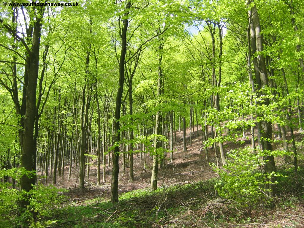
Petersfield is an attractive market town, particularly around the square. From the square take the path to the left of the church and continue down this path until you come to the main road opposite the Tesco shop. Turn left here and at the road junction turn right into the The Causeway. Continue down the Causeway until you get to Cranford Road then take the path on the opposite side of the road. This path passes a house then emerges into a field. Soon you enter a residential caravan site then follow the signs to continue on the footpath. Here you cross a stile then soon come to a small stream where there is a bridge across.
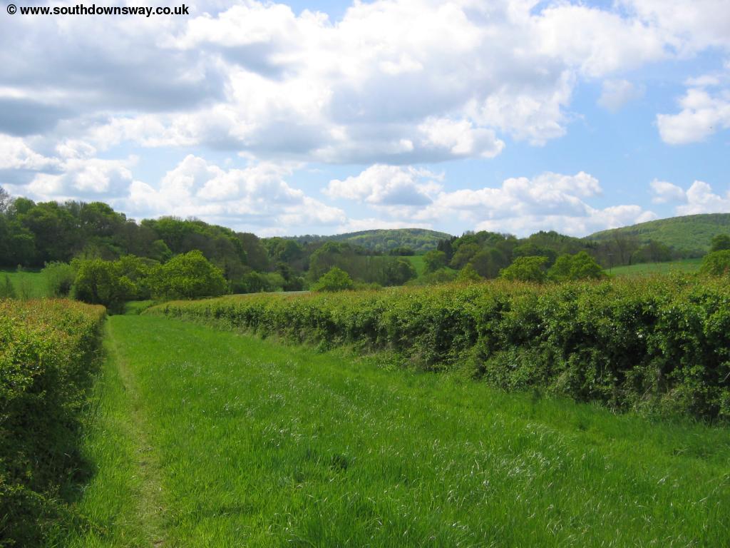
Continue over the bridge and the path passes a pond on the right and a row of trees to the left with another group of trees to the right. Soon it comes to a deep valley, with the path running along the top of the valley though unfortunately there is a small sewage works to the left.
 |
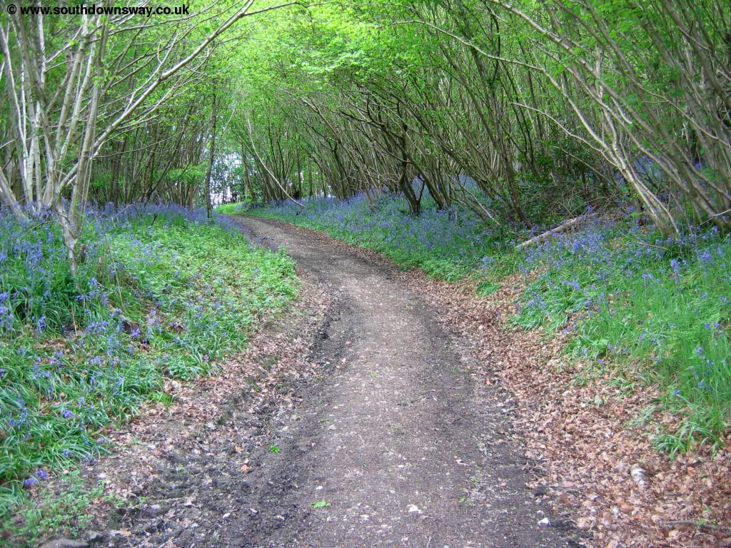 |
| The Hangars Way near Petersfield | Bluebells on the Hangars Way |
 |
 |
| The Hangars Way near Buriton | Buriton |
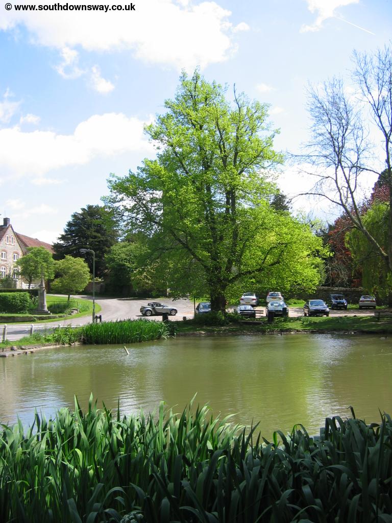
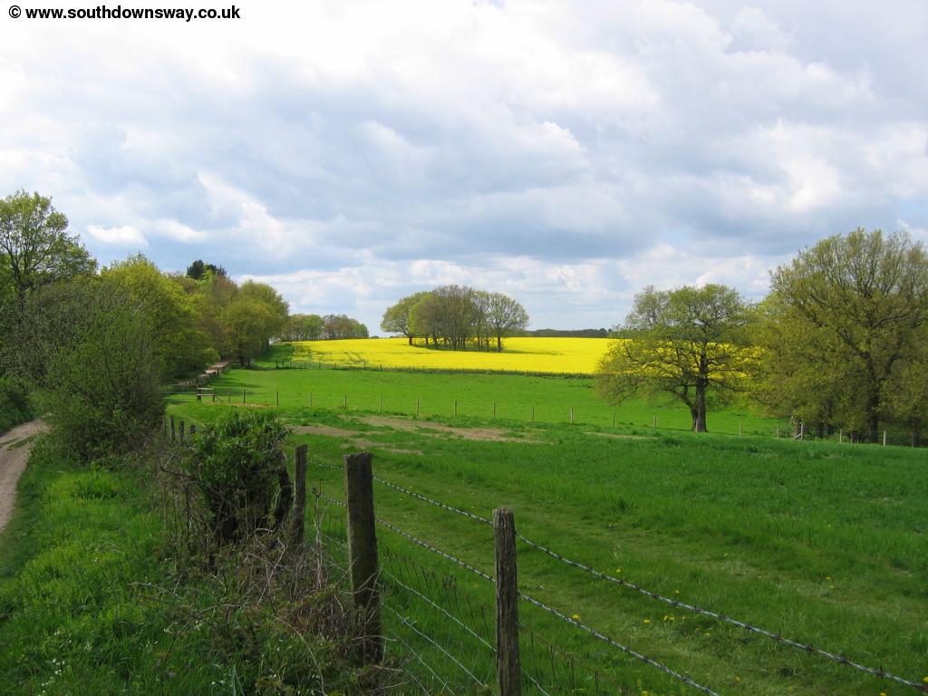
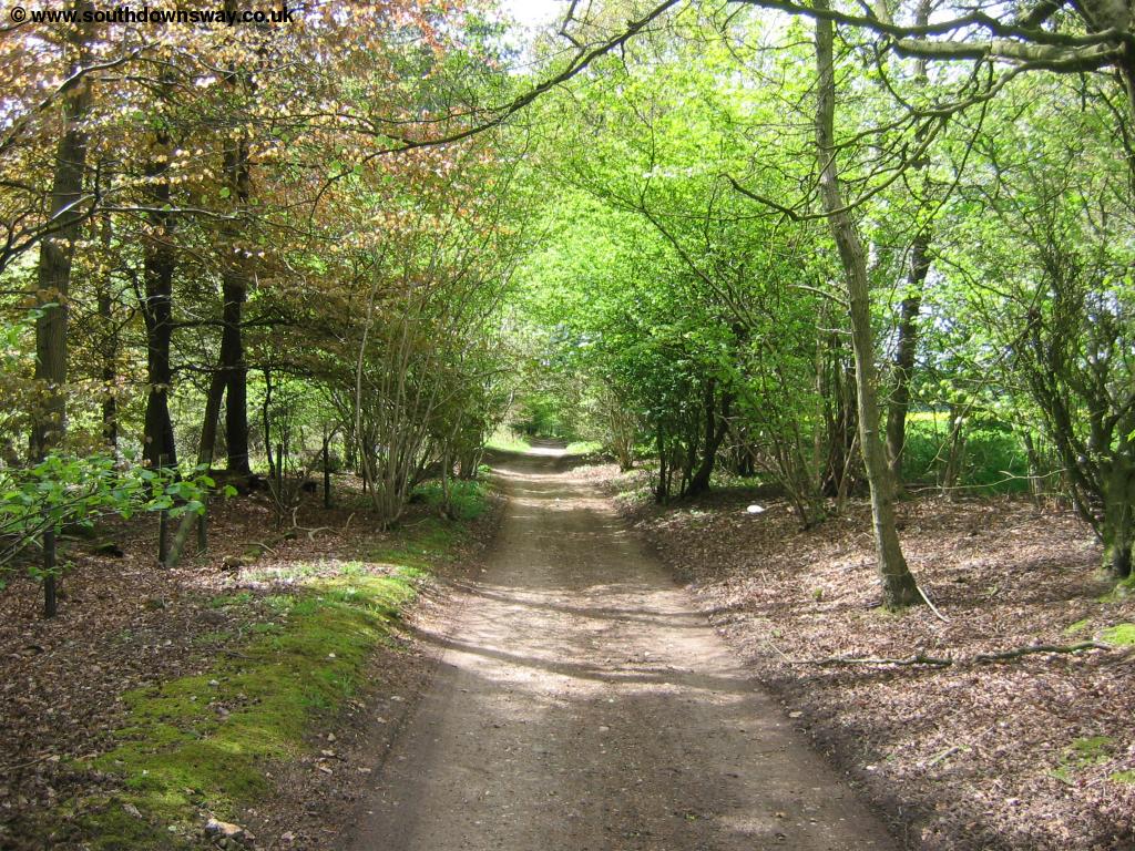
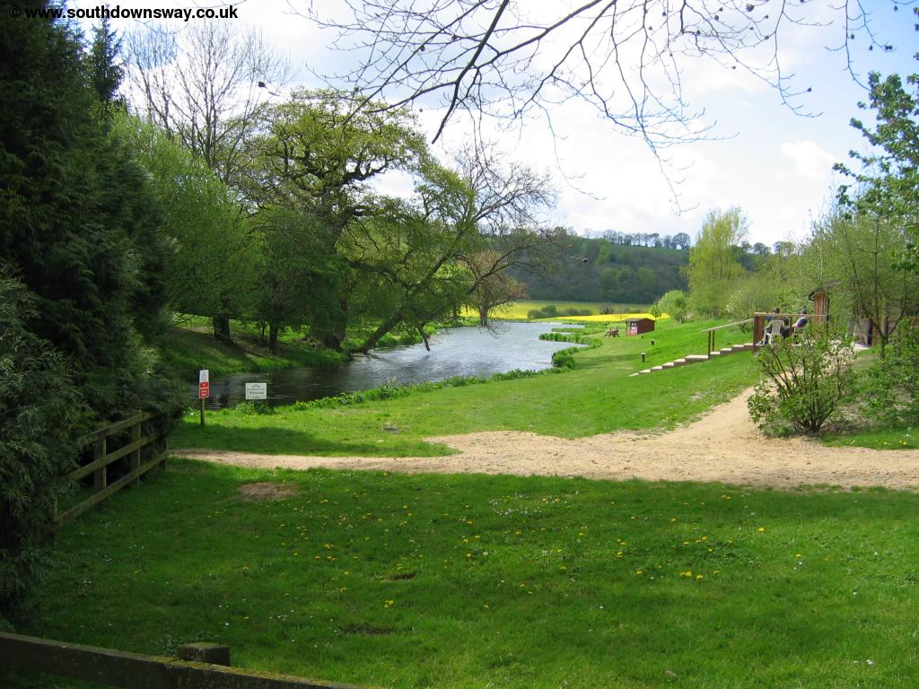
Continue along this valley, passing some houses on the opposite side before you come into the village. Walk through the village past the church and village pond. Take the path round the pond, keeping the water to your left, and head down South Lane. The path then climbs away from the pond under the railway bridge and climbs through trees to a small car park, the edge of the Queen Elizabeth Country Park. When you come to the car park walk through it and follow the path up from the end of the car park as it climbs away, offering brief views over the surrounding countryside. Soon you enter the woodland, the beautiful trees providing a break from the sun. The path through the park is wide and well-kept. Here there is a separate path for horse riders, signed to the left of the footpath. Through the park there are frequent picnic spots and seats, and many other signed trails.
 |
| Queen Elizabeth Country Park |
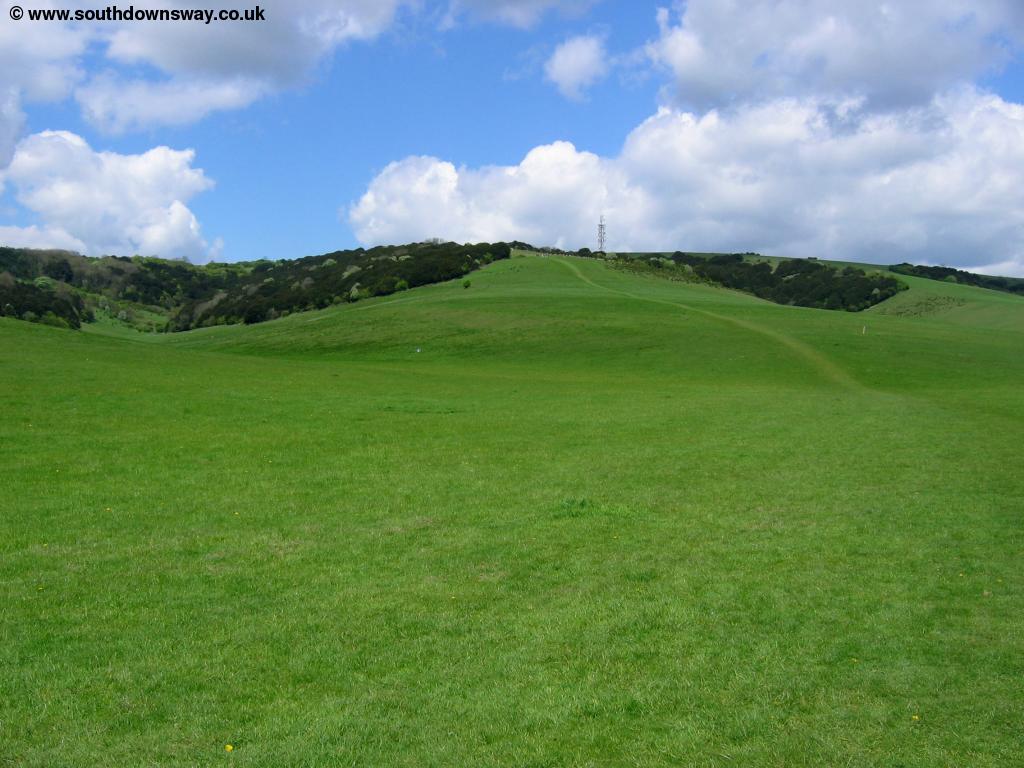
Soon you come towards the main car park beside the A3. Continue on the path, briefly walking along the access road as it heads underneath the A3. Beyond the A3 the path comes to another car park then climbs up Hillhampton Bottom to Butser Hill, sadly with a radio mast on the top. Butser Hill is in fact the highest point of the whole South Downs. The walk is not too steep but as it's long it can be quite tiring.
 |
 |
| Butser Hill | The A3 and coast beyond |
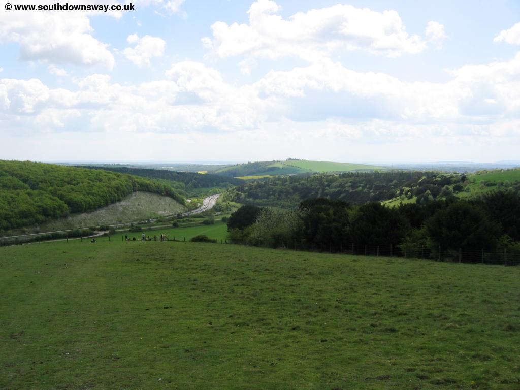
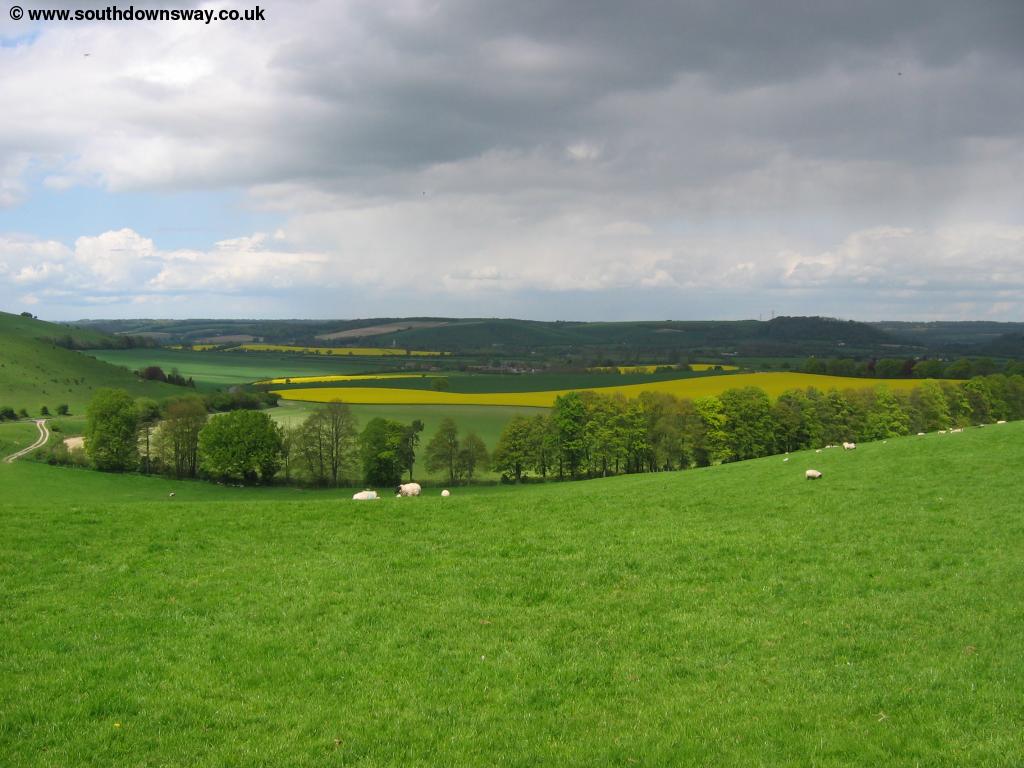
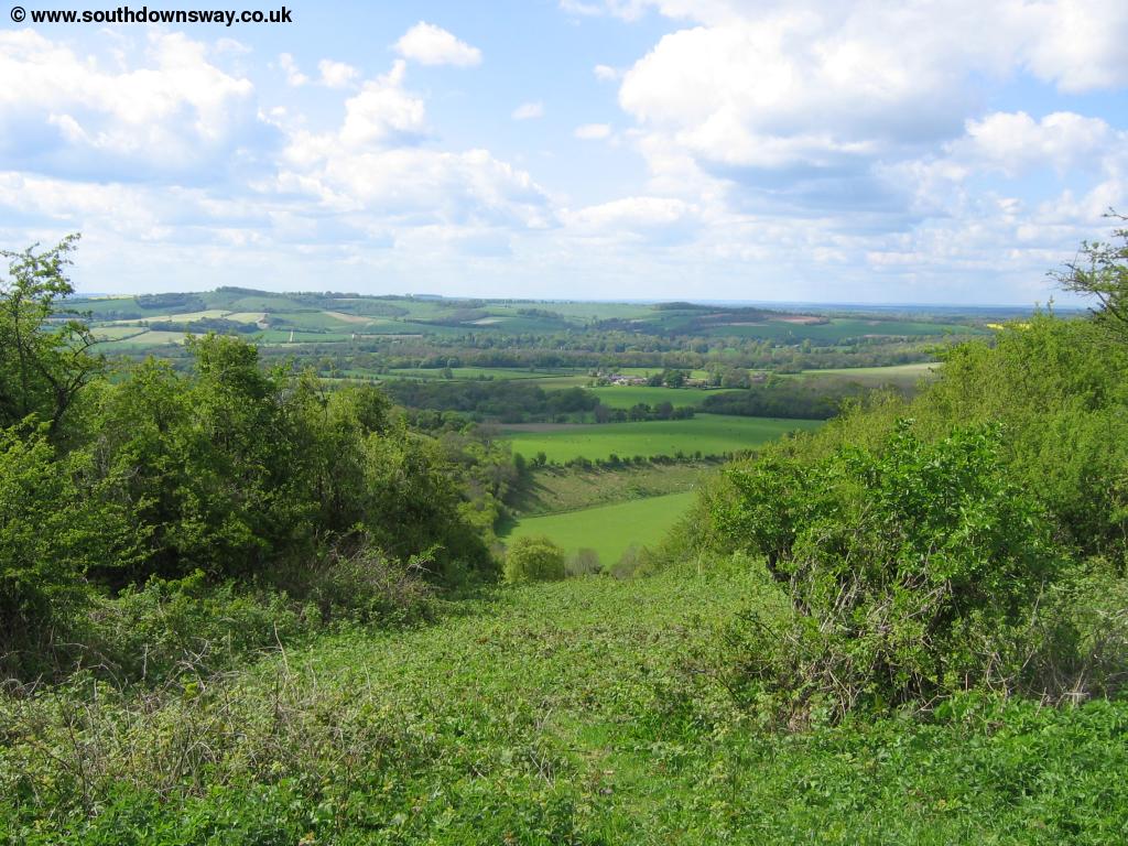
The views from the top are worth it though, back to the trees of the Queen Elizabeth Country Park and down to Langstone, Chichester and Portsmouth Harbours and the Solent beyond. The path doesn't actually go to the very top of the hill, but as this area is now access land you can walk to the top. Follow the path round the hill (it is well signed) and you come to the Butser Hill car park.
 |
| View from Butser Hill |
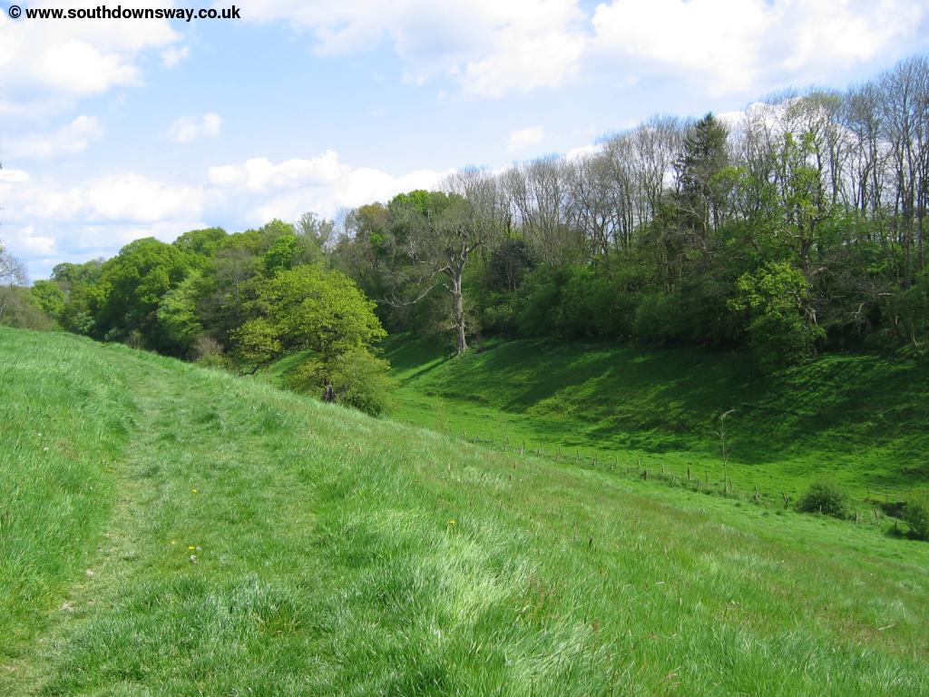
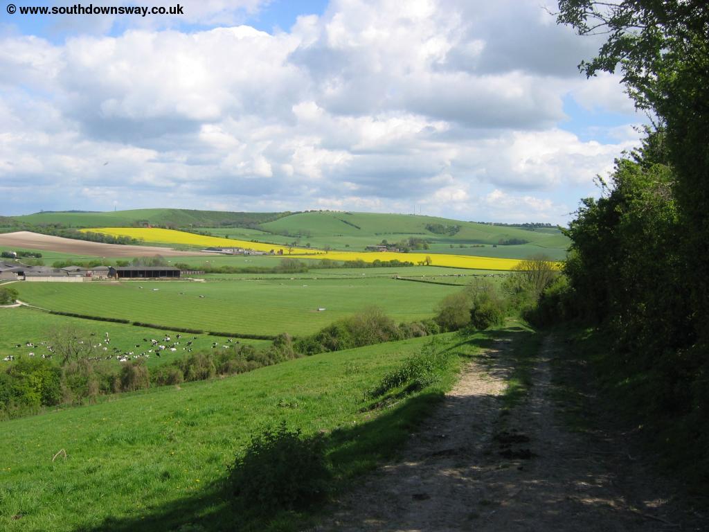
Here the path turns to the left, following beside the (quiet) road. Soon however the path does join the road so take care, however the road is not too busy. At a junction of roads you take the path slightly to the right as it soon becomes a track. Here you continue to have excellent views to the right, although to the left you're soon passing the trees of Hyden Wood, restricting the views.
 |
 |
| The path near Hyden Wood | The edge of Hyden Wood |
Soon you come to another road which you cross and continue straight on as signed, passing Mercury Park, which appears to be some sort of Ministry of Defence establishment. Continue past an apparently disused Youth Hostel on the left then take the track up to the right. Here you climb slightly to Salt Hill where you have excellent views, then the path slowly descends towards the tiny hamlet of Combe Cross.
 |
 |
| View from Salt Hill | Near Salt Hill |
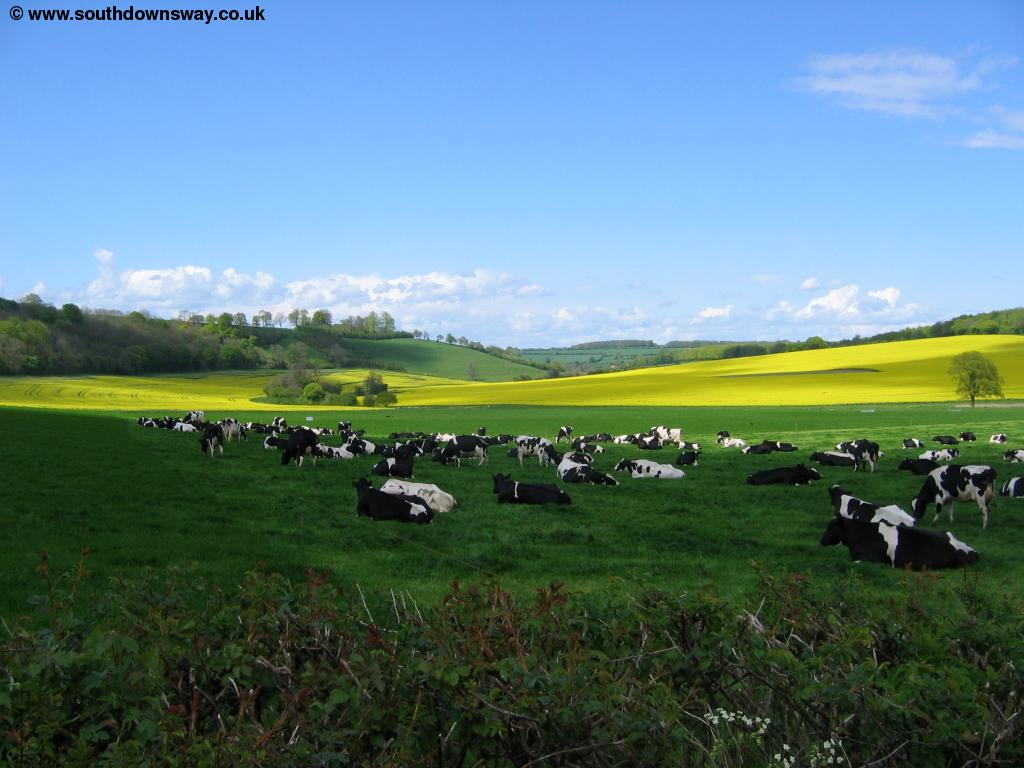
Continue straight on here as the path zig-zags along this track. Soon the South Downs Way turns to the left, although this bridleway continues to the north and there is another path off to the right that heads towards the village of East Meon. The path now descends towards the farm buildings. Soon you emerge onto the road where you turn right, past the farm building on the right. There is a track to Whitewool Farm to the left, but ignore it and continue straight on to the next barn on the right. Here turn left as signed, passing by the edge of Whitewool Pond, a popular spot for fly fishing.
 |
 |
| Whitewool Pond | Near Whitewool Farm |
Follow the road beside the pond and around the edge of Whitewool Farm. Here the path turns right along the farm track before turning to the right and climbing up the hill. This part of the path appears to be signed with temporary routes, although I get the impression this has been the temporary route for some time. Continue on this track as it climbs up and soon you get to the road.
 |
 |
| View near Whitewool Farm | View near Whitewool Farm |
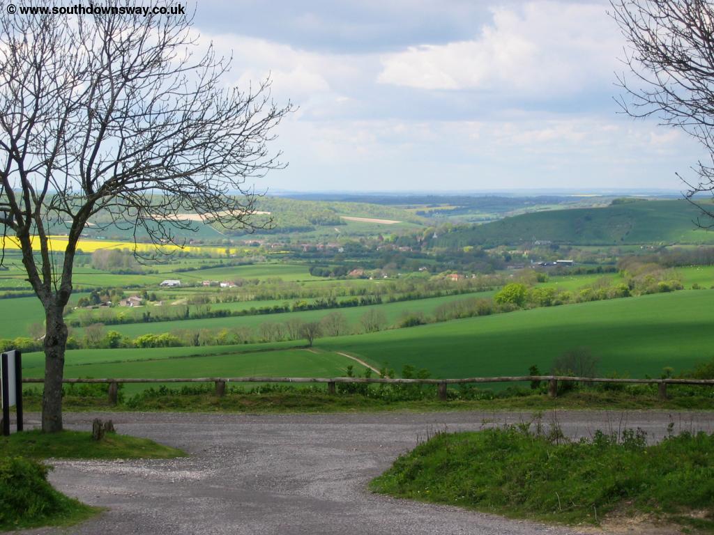
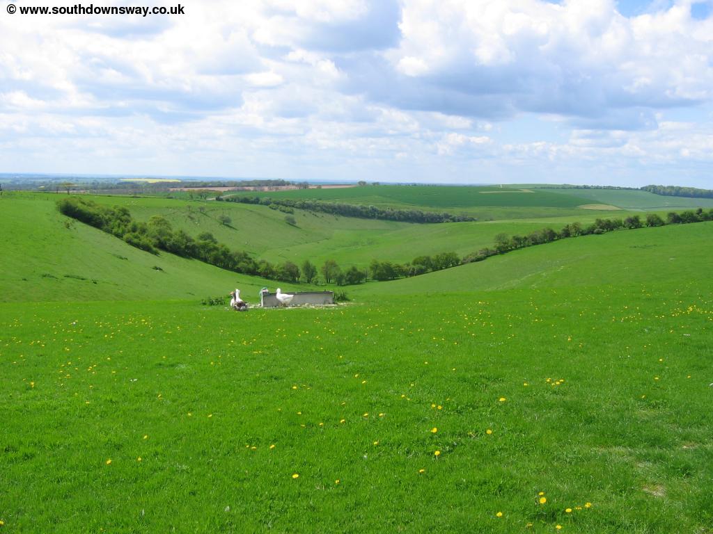
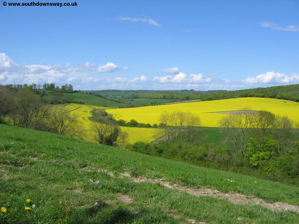
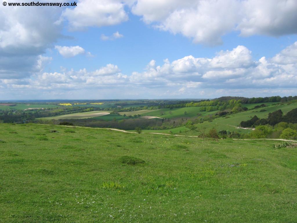
Turn left here, there is a path following beside the road, though it soon emerges onto the road. Here there is a small car park, but cross the road as there is another bridleway following the edge of the road to the second larger car park. This is a popular spot for bikers and it's easy to see why since the views from this top car park are excellent. From the car park the South Downs Way appears to lose it's distinction and is now one of several paths to Old Winchester Hill, marked as an "easy going" path. This path takes you to the top of the hill with excellent views in all directions.
 |
 |
| View from Old Winchester Hill | View from Old Winchester Hill |
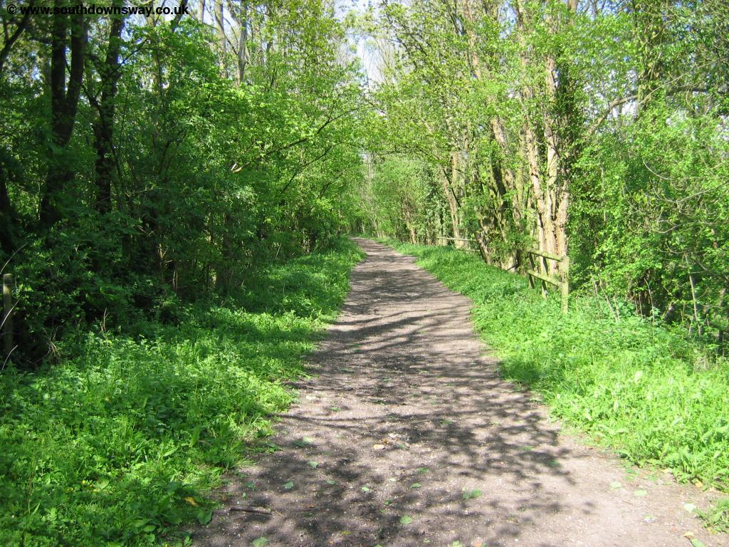
Follow the path straight on down the hill, with the trees to your right. Soon the path turns to the right then left and then right again and in fact appears to twist more than is suggested on the map. Soon you come to the edge of a group of trees where the path turns left and heads towards more woods. Soon you come to a brick bridge which the path climbs onto and crosses, this is the course of the old Meon Valley Railway which used to run from Alton down to Fareham, now opened up as a footpath for much of it's length.
 |
| The Old Meon Valley Railway Line |
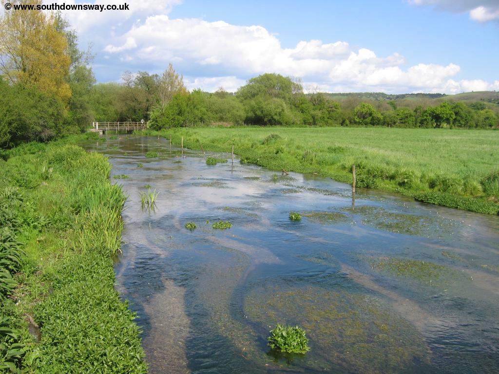
Soon you come to the lovely river Meon, a fast flowing and shallow river. There is a small footbridge over the river which then brings you to the main road (the A32). Cross the road with care and follow the road into Exton village, with it's attractive church, the end of this walk.
 |
 |
| The river Meon | Exton |
Getting Back
Exton has a fairly poor bus service. Solent Blue Line route 17 runs once every 2 hours (Monday - Saturday) from Exton to Warnford, West Meon, East Meon and Petersfield (Station and Square) to the north and Droxford and Bishops Waltham to the south. The last bus to Petersfield currently departs quite early (approx 4:30pm) so keep that in mind when planning your walk as no other buses serve the village. The bus stops at stops at both the access roads to Exton village on the A32 and does not go through the centre of the village. Sadly it seems a better service is not really justified - I was the only passenger on the bus for the whole journey from Exton to Petersfield.
Links
The following web sites provide information on the area.
Every effort is made to ensure the accuracy of information on this site, but liability will not be assumed in the event of any inaccuracies. Use of the information on this site is at your own risk. If you find any errors, please use the link below. The text and photographs on this web site are all Copyright © and may not be reproduced without prior permission.