Amberley to Cocking |
||
| West: Petersfield to Cocking | Back to Index | East: Amberley to Washington |
Introduction
This walk starts from the edge of Amberley, near the working museum and crosses the river Arun before climbing back onto the downs and passing the edge of Coombe Wood to the A29. After the road the path climbs to Westburton Hill and on to Bignor Hill. Soon the path heads through woodland before descending from the downs then turning right into the village of Cocking.
Getting to the Start
Amberley is on the B2139 which runs between Storrington and the A29 and A284. It is easily reached from the A24 by joining the A283 into Storrington then the B2139 to Amberley Station which is nearer to the start of the walk than the village. From the A27 exit onto the A284 at Arundel then turn right onto the B2139 to Amberley Station. Parking is available at the station and adjacent museum although consider getting back (see below).
If you're travelling by public transport there is a station at Amberley a few minutes walk from the South Downs Way. Amberley is on the Arun Valley line with hourly trains (seven days a week) from London Victoria, Croyden, Redhill, Gatwick Airport, Crawley, Horsham, Pulborough, Arundel, Barnham and Bognor Regis. There are also direct trains from Portsmouth and Chichester, all operated by Southern. Note, many trains are formed of 8 or more carriages, to alight at Amberley you must be in the front 4 carriages as there is a short platform at the station. By bus Compass Bus service 73 runs a few times daily (Monday - Saturday) from Horsham and Storrington to Amberley and Amberley Station.
The Walk
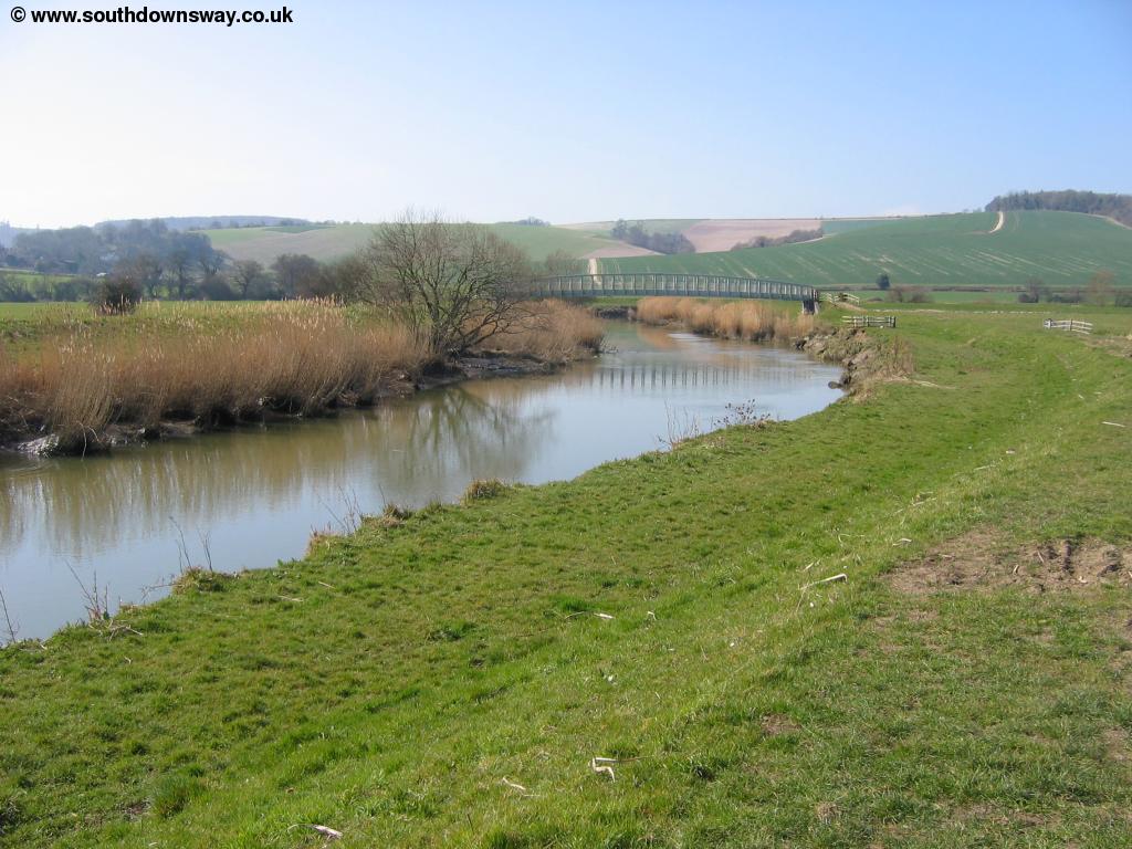
The South Downs Way does not in fact pass through Amberley village but passes to the south of the village close to the station. At the same place as the station is Amberley Working Museum, dedicated to the industrial heritage of the South East with a wide variety of exhibits. From the station exit the station access road and turn right, following the main road with the railway bridge behind you. There is a pavement but it is on the opposite side of the road. Continue past High Titten on the right and past some houses on the left, then take the next road on the left which becomes a track and climbs to cross the railway line on a bridge. Continue on the track and when you get to the end, turn left heading towards the river Arun. There is a footpath on both sides of the river here and when you reach the river bank, turn right following the path towards the footbridge.
 |
 |
| The river Arun near Amberley | The river Arun near Amberley |
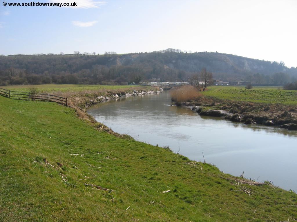
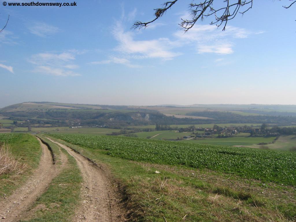
Cross the footbridge and turn right once across the bridge, then turn left away from the river when signed, heading across a field to the small road. Cross the road and the path then begins to climb the chalky path back onto the downs. The path begins to turn to the right as it climbs, and, looking back, you have excellent views to Amberley and the river Arun below.
 |
 |
| The river Arun below | The river Arun below |
The path soon turns back to the left and heads towards some woods, with most of the trees being to the right.
 |
 |
| Looking back to Amberley | Looking to the left |
This part of the path can get muddy in the winter so take care, as it climbs towards the road. Soon you reach the busy A29 where the traffic speeds by. Cross the road and turn right following the grass verge beside the road - you should be able to see the sign ahead pointing you left away from the road.
 |
| The path behind |
Soon the noise of the road reduces as you continue to climb gradually towards the hill, enjoying excellent views all around. From Amberley west the scenery is slightly different. East of here the South Downs Way runs on top of the chalk slope which is typically the highest point around. However from here west the countryside is more rolling, with several other hills around and more woodland areas.
 |
| View from the path |
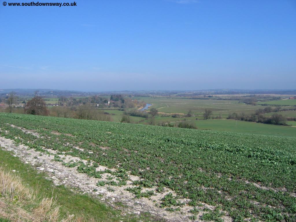
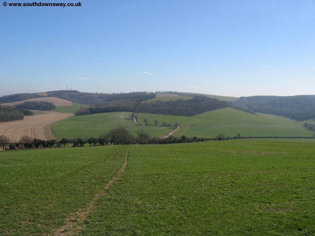
Soon you come to a junction of paths, but the South Downs Way is well signed continuing straight on slightly to the left of the top of the hill. Ahead you can now see the masts on top of a hill. Soon you come to some small farm buildings where the path again changes direction. Take care here as the signs are poor and it's easy to take the wrong path. The correct path turns left following a track through the woods then as you emerge from the trees turns right and begins the climb to the top of the hill. As you reach the top of the hill you're rewarded with wonderful views in all directions.
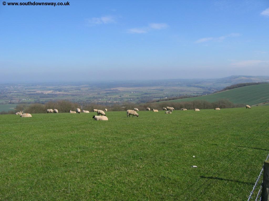 |
 |
| View from Bignor Hill | View from Bignor Hill |
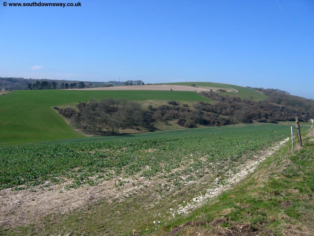
From the top of the hill, the path slowly descends towards trees and a car park. As you get to the car park you can take a right turn and take the path to the top of the hill where the masts are, however the South Downs Way follows the most obvious path from the car park, then goes off to the right, keeping the masts a short distance away to your right, heading towards another clump of trees. Pass through these trees and the path emerges to pass through a field around the right of Sutton Down.
 |
| View near Sutton Down |
Past Sutton down the path takes an obvious route, again passing through a few trees as it starts to descends once more, this time to the A285 road.
 |
| The path descending through trees |
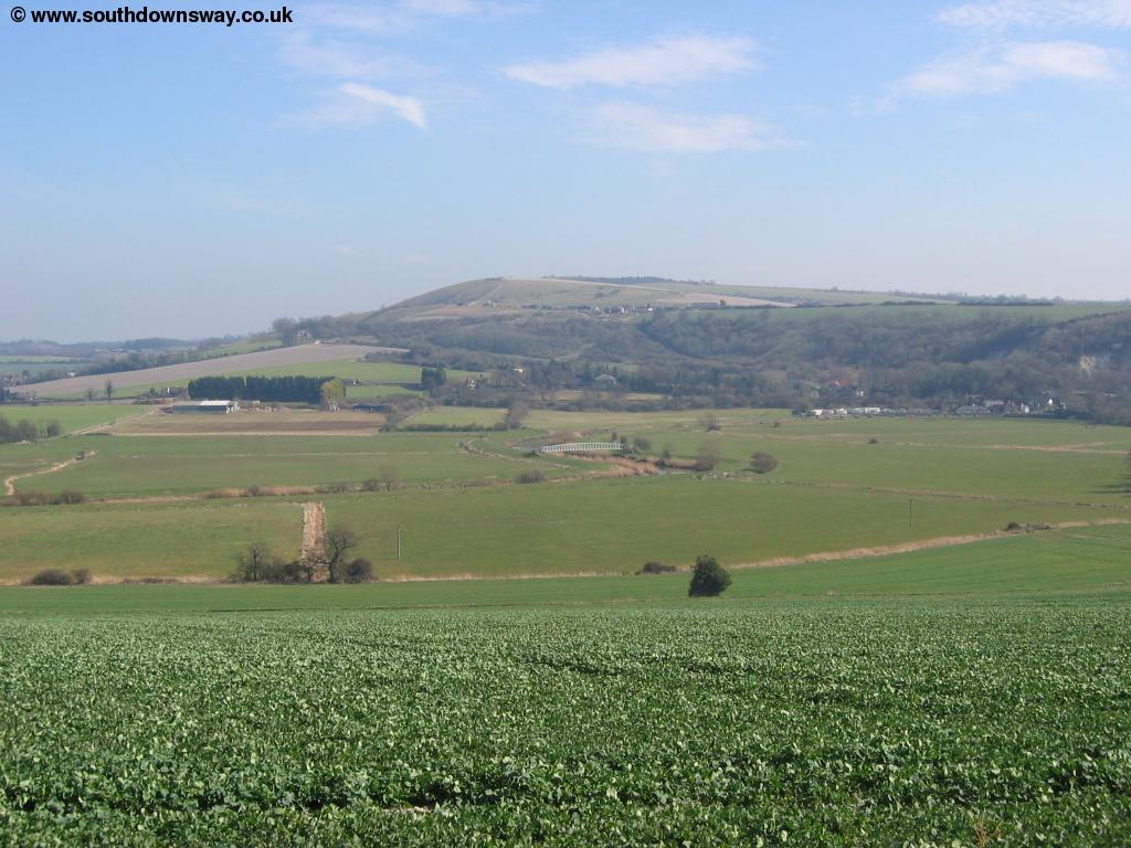
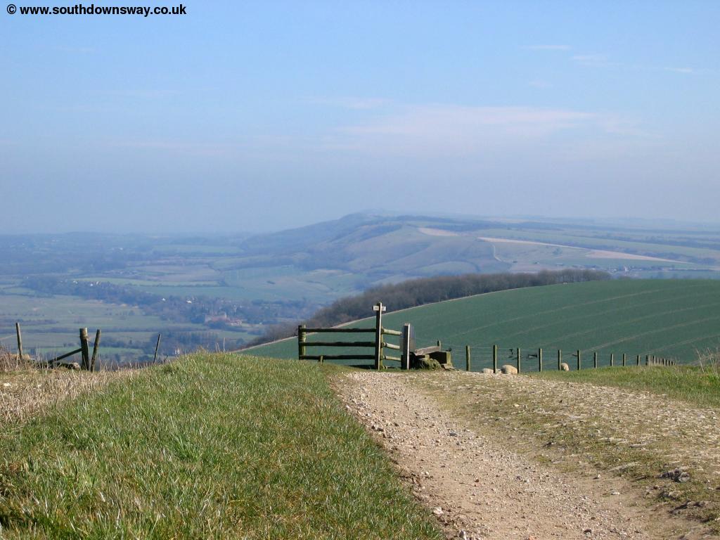
Continue on the obvious chalk path as it descends towards Littleton Farm and the road ahead. Take care crossing the road as it's a busy main road. There is a bus stop where the path crosses the road, with occasional buses to Chichester and Petworth if you wish to finish the walk here. Once across the road the path goes to the right of the farm and climbs once more back onto the downs. Here the climb is fairly steep, but goes on for quite a while so you'll probably be a bit breathless once you reach the top of the hill, however the climb is worth it for the lovely views from the top.
 |
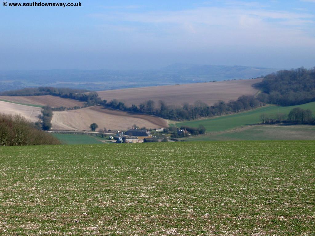 |
| Looking back from the climb away from the A285. | View from the top. |
As you reach the top of the hill the path again heads into woods to Stickingspit Bottom. Here you get views through the trees to the north.
 |
| View near Stickingspit Bottom. |
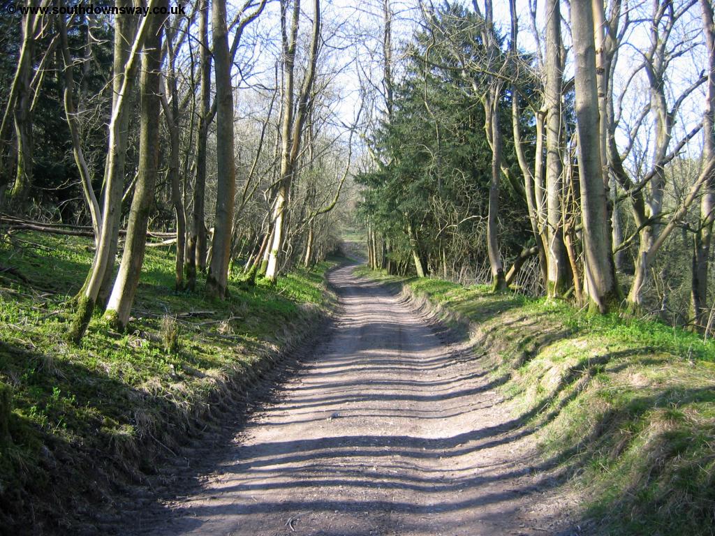
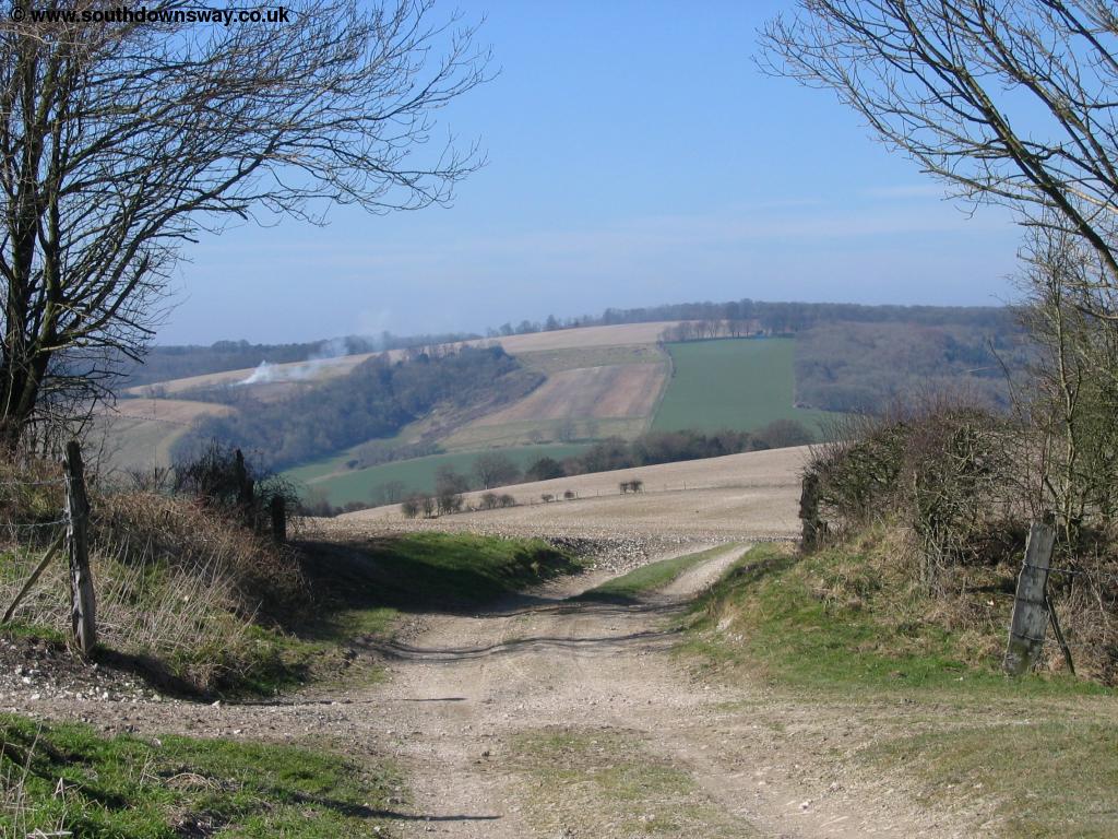
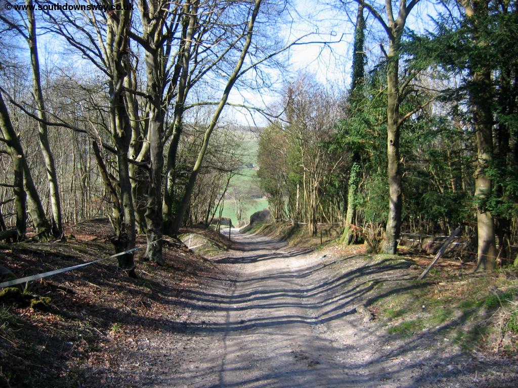
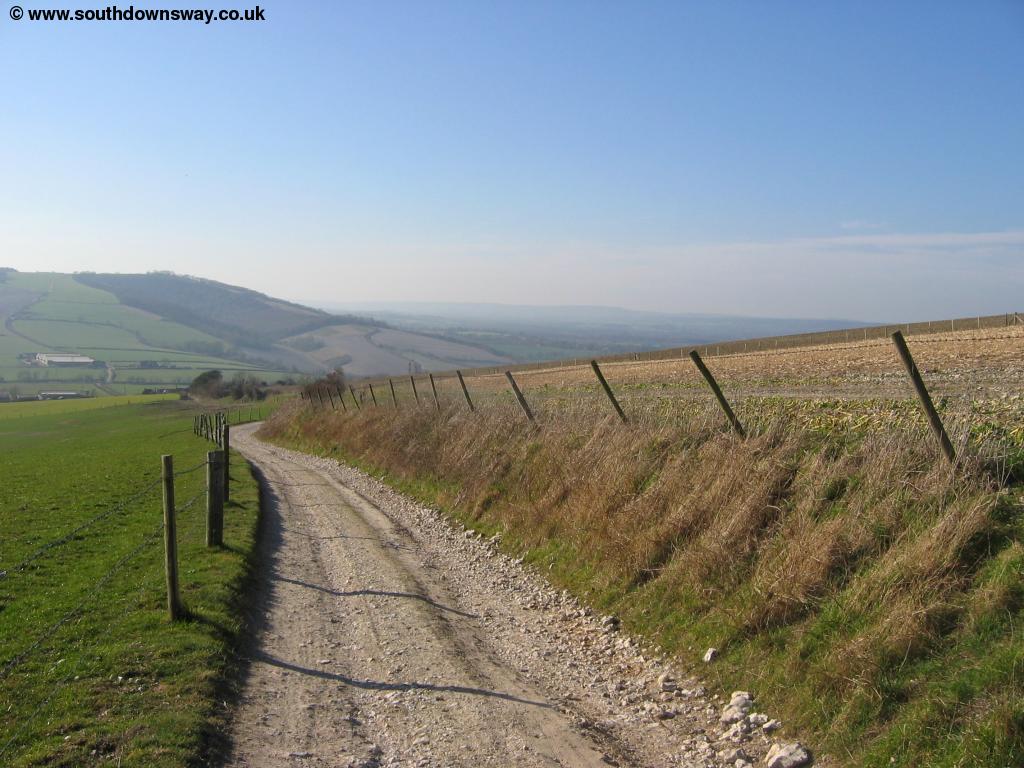
Beyond Stickingspit Bottom the path heads in and out through trees, offering occasional views to the north. A whole network of path runs through the woods here, but the main path is obvious and generally well-signed. To the north is Graffham Down. This part of the path can get very muddy during winter and appears to get heavy use, including by farm vehicles. After a couple of miles of walking through the woods and next to fields the path begins to emerge from the woods by some burial mounds where there is also an odd wooden tower.
 |
| Emerging from the woods. |
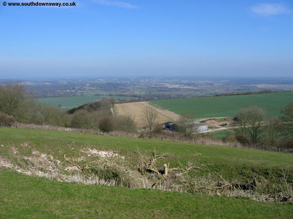
The path turns briefly left towards the woods then right, keeping the trees to the left as you reach Heyshott Down, the last major hill on this walk. Enjoy the views from here as the path now descends towards the A286, with views of the downs beyond the road.
 |
| The path descends from Heyshott Down. |
As the path heads down you come to a farm yard and barn ahead. Here there is a welcome drinking tap and a footpath leaves the South Downs Way to the right, heading downhill into the village of Cocking. Again, this path does become quite muddy in the winter.
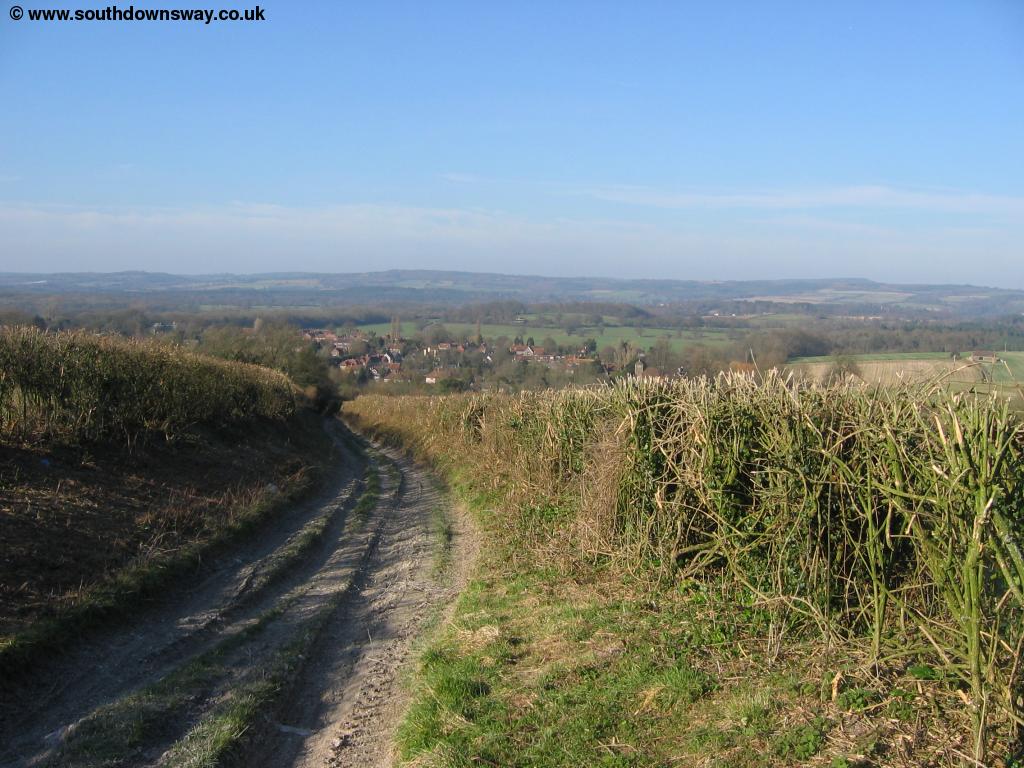 |
| The path into Cocking. |
You arrive at a pretty stream in front of the beautiful old church in the village. Follow either of the roads around the church to get to the main road through the village, the A286.
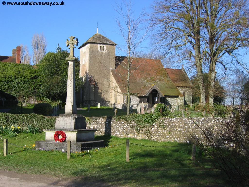 |
| Cocking Church. |
Getting Back
To get back to Amberley from Cocking your best option is to take the bus from Cocking to Chichester Bus Station, which is adjacent to the rail station. Stagecoach South bus 60 runs at half hourly intervals Monday - Saturday and hourly on Sundays from Cocking to Chichester. The journey to Chichester takes around 30 minutes. From Chichester station there are hourly trains to Amberley, typically taking around 30 minutes. At some times of the day there are direct trains, but at other times you'll need to change, normally at Ford station. The trains are operated by Southern. In addition the bus from Cocking also runs to Midhurst from the North and is scheduled to connect with the number 70 bus (also operated by Stagecoach South) on to Haslemere and Guildford. This bus pases the station in Haslemere where you'll find frequent trains to Petersfield, Havant, Portsmouth, Guildford, Woking and London (Waterloo). Through tickets are available on the bus from Cocking as far as Haslemere and normally you'll only have to wait around 5 minutes at Midhurst Bus station for the connecting bus. However I tried to take this route but the bus from Cocking was 20 minutes late, meaning I missed the connecting bus at Midhurst and had an hour wait for the next one, so the connection appears to be unreliable.
Links
The following web sites provide information on the area.
Every effort is made to ensure the accuracy of information on this site, but liability will not be assumed in the event of any inaccuracies. Use of the information on this site is at your own risk. If you find any errors, please use the link below. The text and photographs on this web site are all Copyright © and may not be reproduced without prior permission.