Amberley to Washington |
||
| West: Amberley to Cocking | Back to Index | East: Washington to Upper Beeding |
Introduction
This walk starts from the edge of Amberley, near the working museum and climbs rapidly back onto the top of the downs, offering stunning views over the Arun valley and hills to the north and to the coast to the south. The walk continues on the top of the downs all the way towards the A24 where the path descends, crossing the road, and into Washington.
Getting to the Start
Amberley is on the B2139 which runs between Storrington and the A29 and A284. It is easily reached from the A24 by joining the A283 into Storrington then the B2139 to Amberley Station which is nearer to the start of the walk than the village. From the A27 exit onto the A284 at Arundel then turn right onto the B2139 to Amberley Station. Parking is available at the station and adjacent museum.
If you're travelling by public transport there is a station at Amberley a few minutes walk from the South Downs Way. Amberley is on the Arun Valley line with hourly trains (seven days a week) from London Victoria, Croyden, Redhill, Gatwick Airport, Crawley, Horsham, Pulborough, Arundel, Barnham and Bognor Regis. There are also direct trains from Portsmouth and Chichester, all operated by Southern. Note, many trains are formed of 8 or more carriages, to alight at Amberley you must be in the front 4 carriages as there is a short platform at the station. By bus Compass Bus service 73 runs a few times daily (Monday - Saturday) from Horsham and Storrington to Amberley and Amberley Station.
The Walk
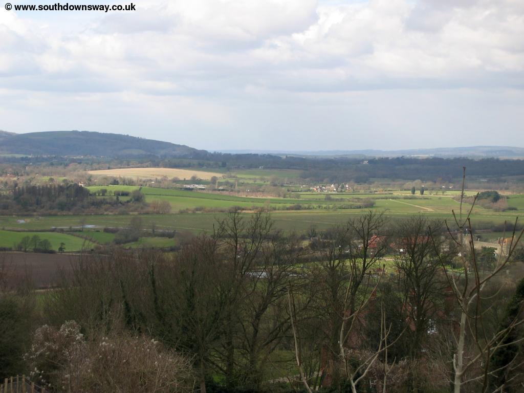
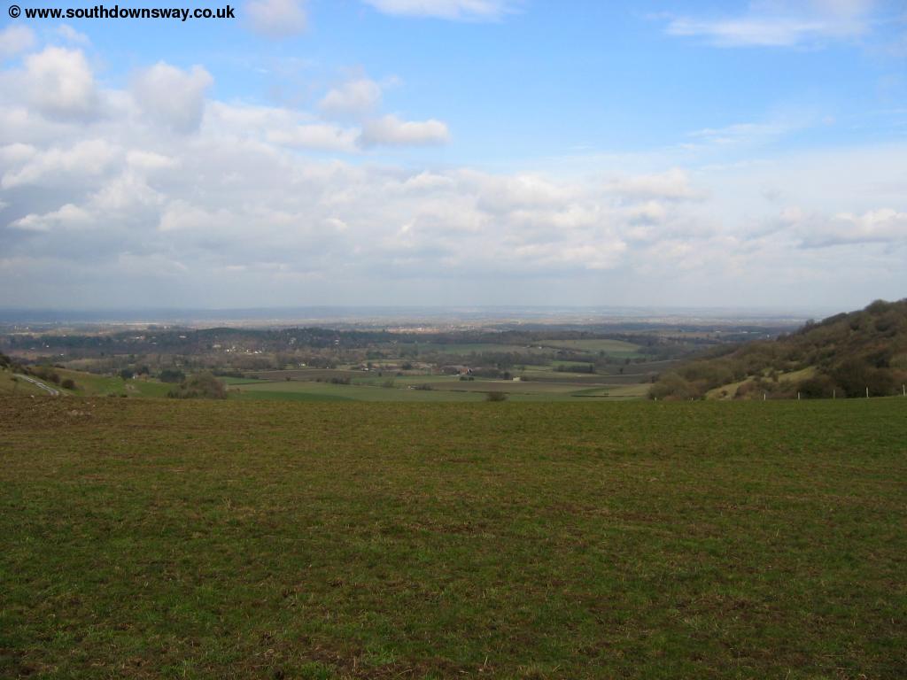
The South Downs Way does not in fact pass through Amberley village but passes to the south of the village close to the station. At the same place as the station is Amberley Working Museum, dedicated to the industrial heritage of the South East with a wide variety of exhibits. From the station exit the station access road and turn right, following the main road with the railway bridge behind you. There is a pavement but it is on the opposite side of the road. Take the next road on the right (High Titten). This road climbs back onto the South Downs Way. As you get to the house (Highdown) you turn slightly to the right past the house and back onto the downs. As you climb to the top of the downs you can see over the village and beyond to the River Arun whilst in the opposite direction you can see out to sea, near Littlehampton.
 |
 |
| View near Amberley | Looking back along the path |
 |
 |
| Amberley below | Looking towards the coast at Littlehampton |
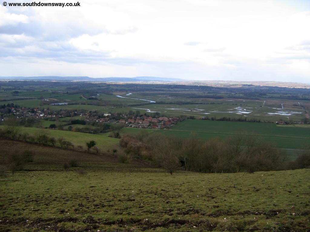
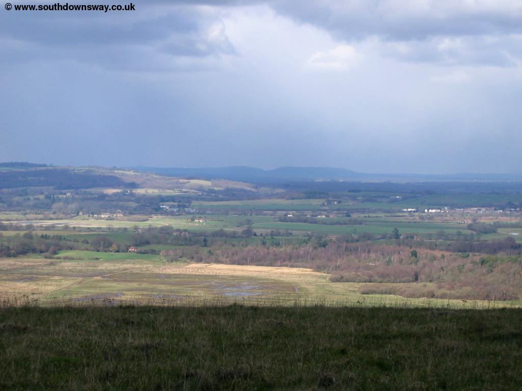
The path now continues at a high-level offering excellent views of the edge of Amberley and Cross Gates below you. The flood-planes of the river Arun can be easily seen below.
 |
| Cross Gates and the river Arun below |
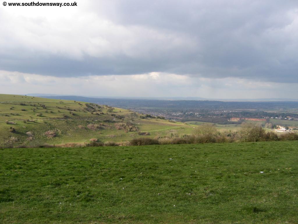
Soon you pass Rackham Banks where there are excellent views and head towards a small cluster of trees at the top of the hill. Before you get there a small tree on the edge of the escarpment provides perspective over the beautiful scene below.
 |
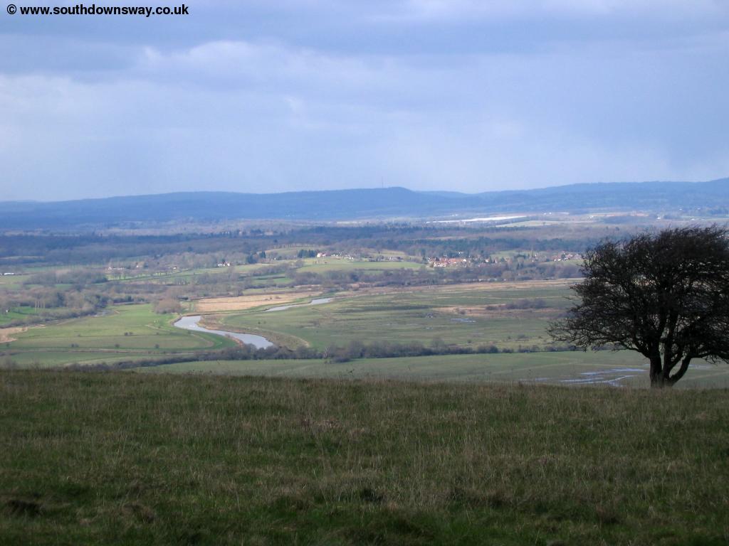 |
| Near Rackham Banks | The river Arun below |
 |
|
| The river Arun below |
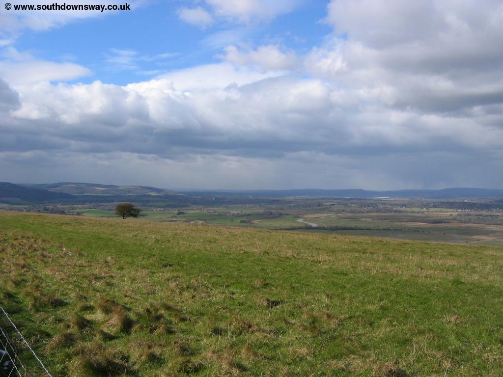
Soon you pass through the small group of trees at the top of the hill. Beyond the trees you have lovely views ahead. At the top of the hill I was rather surprised (as it was early March) to see a small amount of snow still on the top of the downs. Soon you pass a trig point to the right at the top of Rackham Hill.
 |
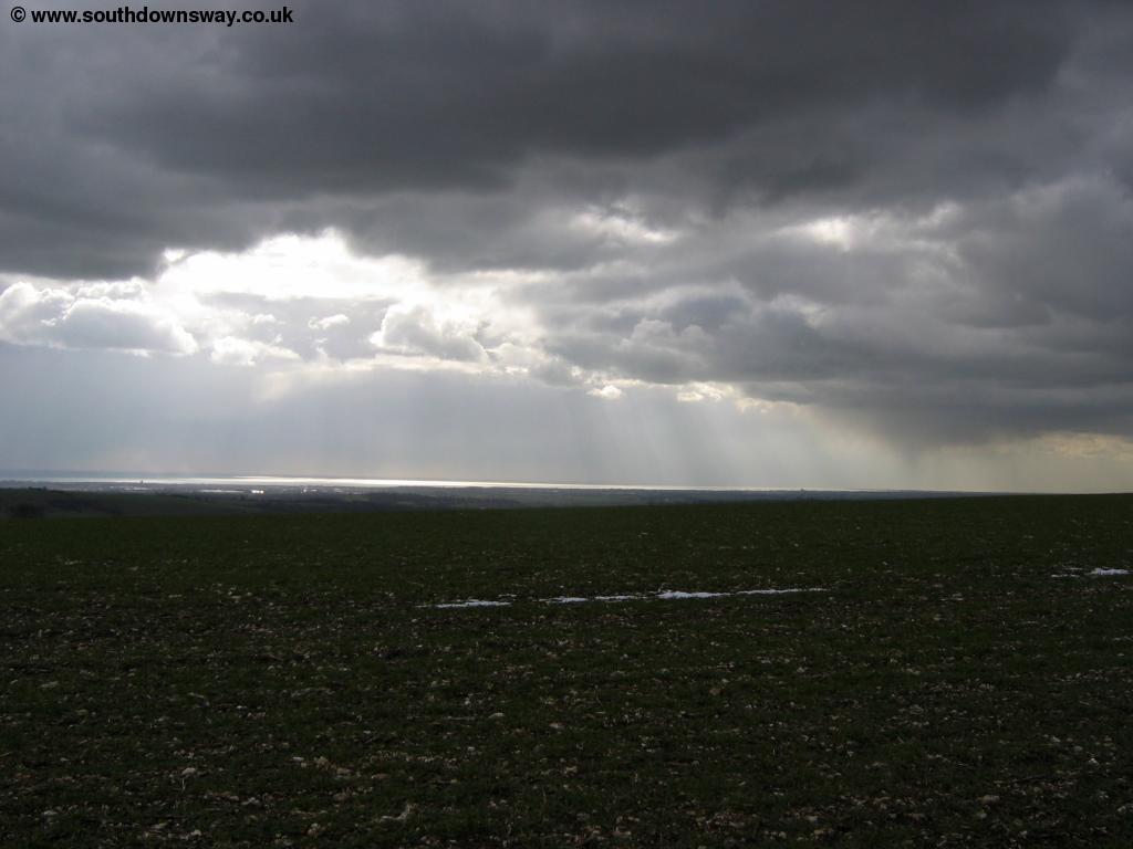 |
| A dusting of snow on the path ahead | Dark clouds over the coast |
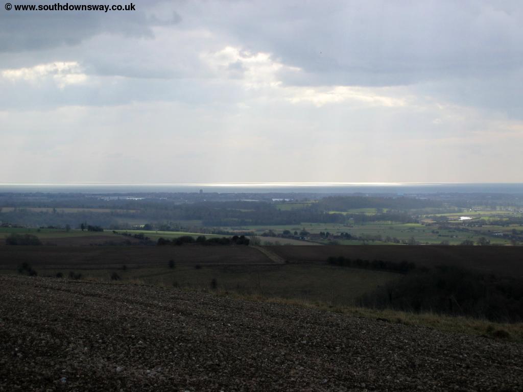
The path then heads towards Springhead Hill where there is another small group of trees just before the top of the hill. As you reach the top you have excellent views, especially over the coast.
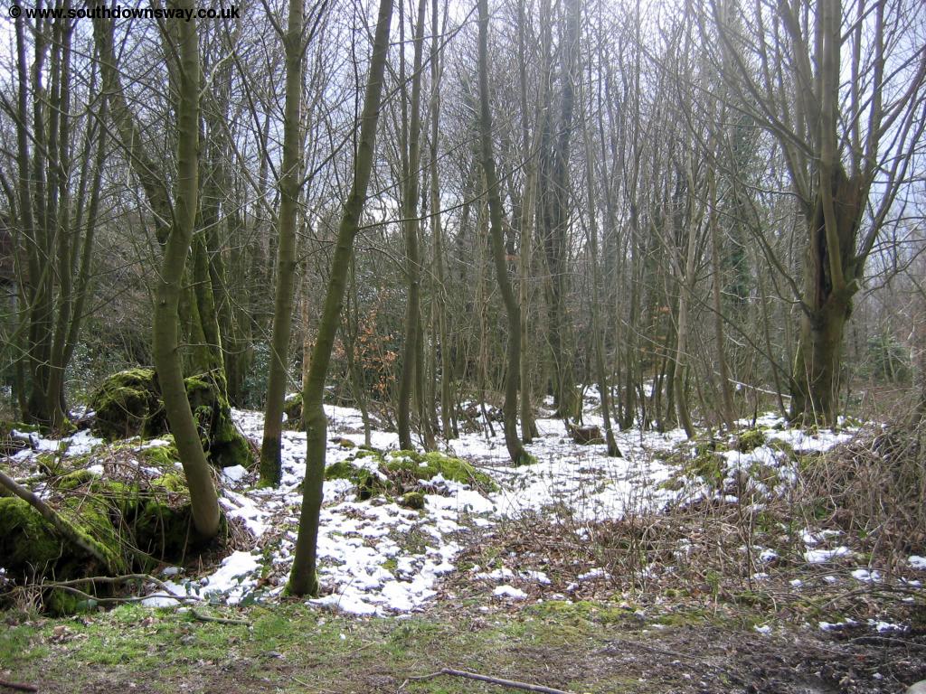 |
 |
| Snow in the trees near Springhead Hill | View of the coast from Springhead Hill |
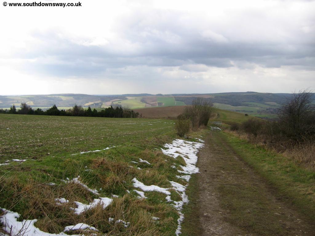
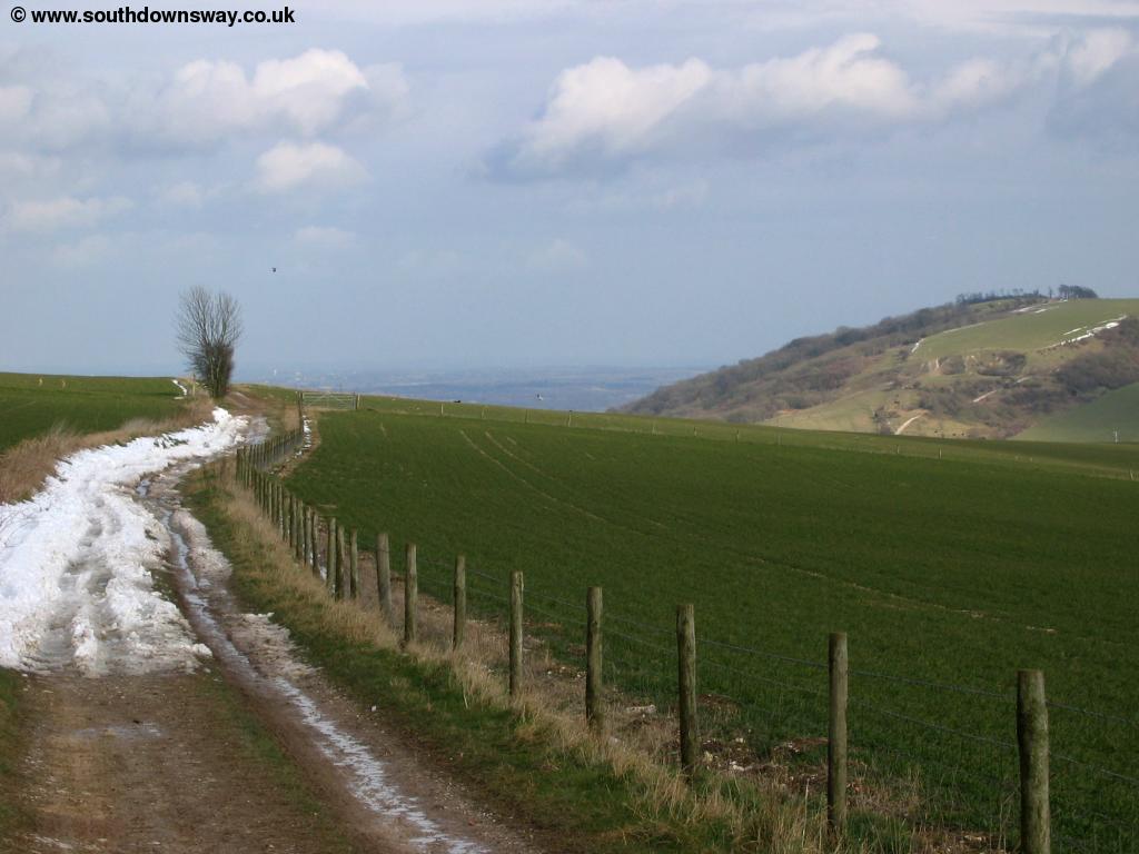
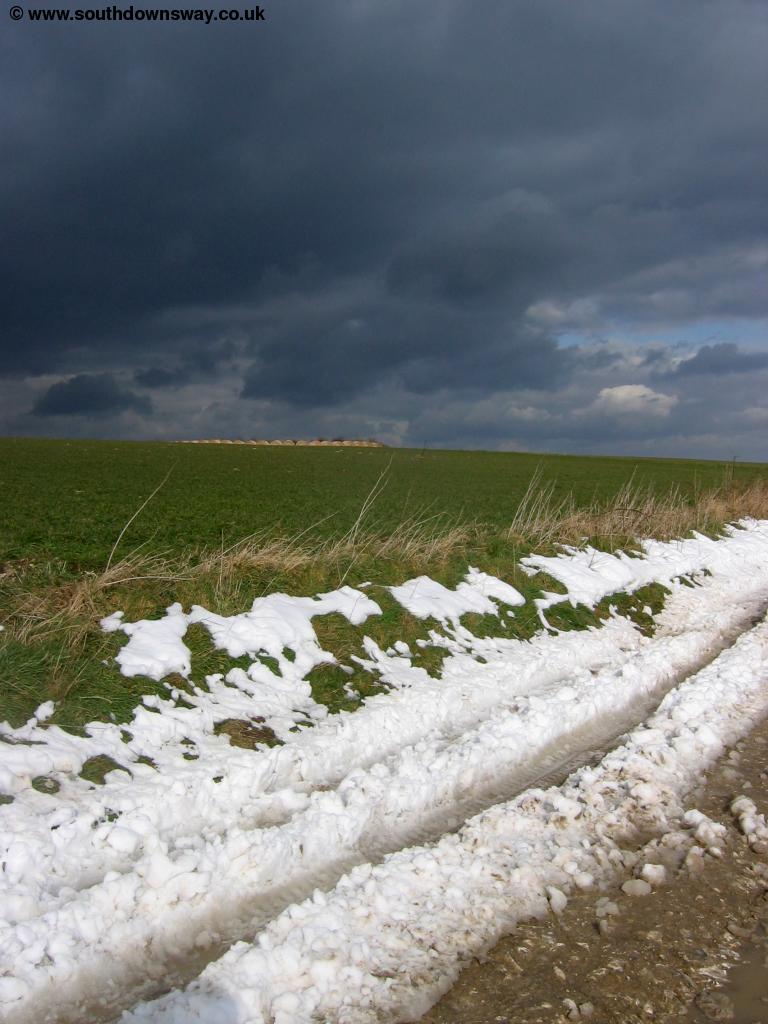
From the top of the hill you descend slightly towards a small car park near the trees on the left. As you get to the car park there is a junction of paths, but the South Downs Way is well signed and continues more or less straight on from the car park. The path beyond the car park is easy to follow although had a good covering of snow along it's edge when I walked, making it easy to see the route ahead.
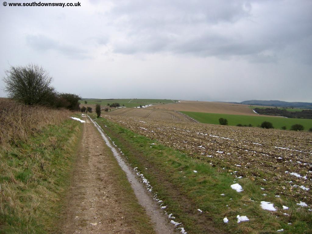 |
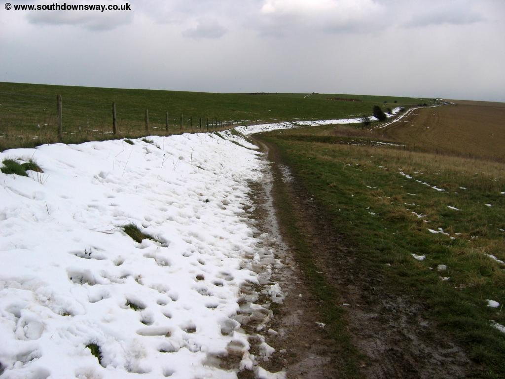 |
| The path ahead | Snow lining the path |
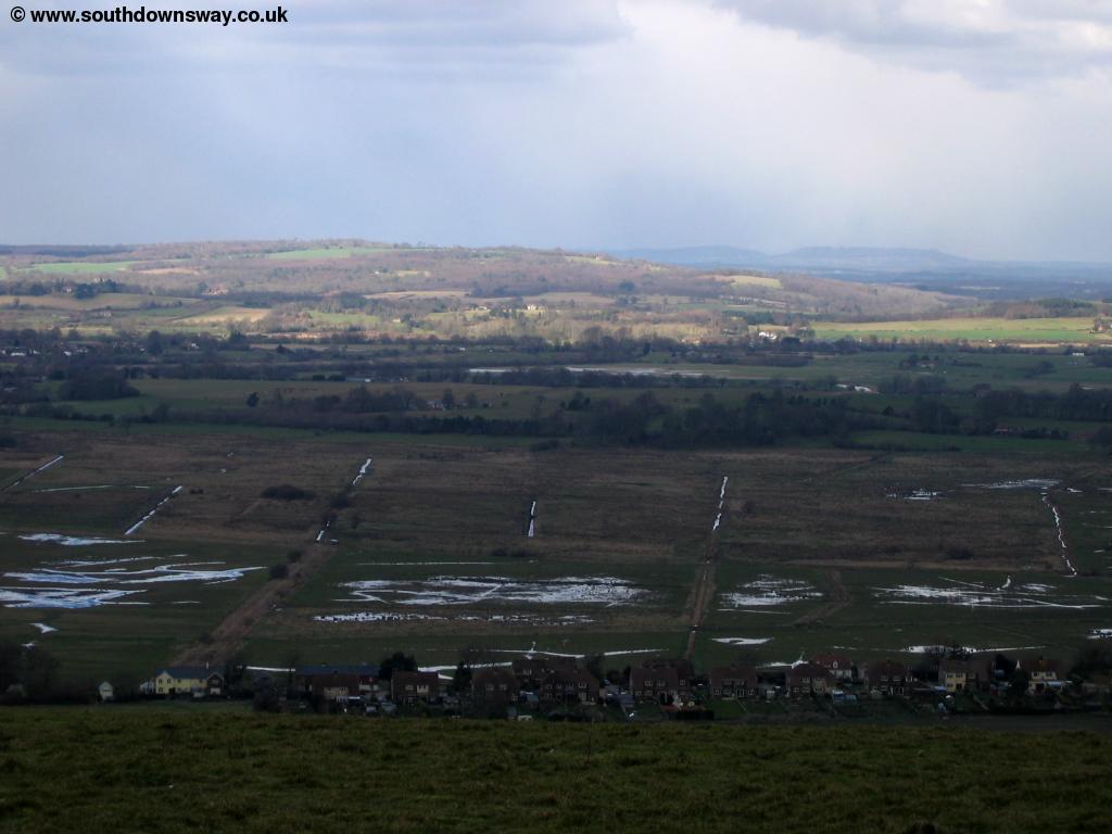
As you continue you pass Kithurst Ranges then on to Kithurst Hill then to Chantry Post where there is another car park and a choice of directions. Continue straight and soon you get lovely views to the left again.
 |
 |
| View near Sullington Hill | View near Sullington Hill |
As you pass the hill the path descends slightly towards an old barn where the path is not as easy to follow, but you need to branch to the left side of the barn. Here you get pleasant views behind you back to the Sullington hill.
 |
| View back to Sullington Hill |
Soon you come to another sign post where there is a choice of routes. The reason for the choice is the A24 ahead. The official route continues on top of the downs but descends to the A24 whilst the signed alternative heads north into the centre of Washington. The A24 at this point is a dual-carriageway with a 70mph speed limit although there is a verge in the middle so you don't need to cross both directions at once. If you choose this route, great care should be taken to cross the road and at peak-times you'll probably have to wait a long time for a suitable gap. Once across turn left up the lane to the car park, then follow the signs past the quarry and down to the road in Washington. If you take the alternative route this takes you straight into Washington and has a safe crossing of the A24 (I think by a bridge).
 |
 |
| View towards Washington | Atmospheric sky near Washington |
 |
|
| Washington village |
Getting Back
To get back to Amberley from Washington you first need to get a bus to Pulborough then from there you take the train one stop down the line to Amberley. The total journey should take around 40 minutes. From Washington you have a choice of bus services. Compass Travel bus 100 runs hourly (Monday - Saturday) from Washington to Pulborough (including the station) and to Storrington, Steyning, Albourne and Burgess Hill. Stagecoach South service 1 runs hourly from Washington to Worthing, Broadwater, Storrington, West Chittingdon, Pulborough, Petworth and Midhurst. This bus also runs on Sundays but less frequently. Once at Pulborough Southenr run hourly trains to Amberley and also to London via Gatwick and Croyden and to Bognor Regis and the South Coast.
Links
The following web sites provide information on the area.
Every effort is made to ensure the accuracy of information on this site, but liability will not be assumed in the event of any inaccuracies. Use of the information on this site is at your own risk. If you find any errors, please use the link below. The text and photographs on this web site are all Copyright © and may not be reproduced without prior permission.