Exton to Winchester |
||
| West: Back to Index | Back to Index | East: Petersfield to Exton |
Introduction
This walk covers the western end of the South Downs Way from the small village of Exton in Hampshire. This walk climbs onto the downs, passing through beautiful open country side to the city of Winchester, the western end of the South Downs Way. Winchester is a beautiful city with a lot to see, including the Cathedral.
Getting to the Start
Exton is just off the A32 (Alton to Fareham road), near Bishops Waltham, and easily accessed from the A31 and A3 roads. Parking in the village is very limited, although there is some parking off the A32, or in nearby Corhampton. By public transport, Solent Blue Line operate a service (no 17) to the village, which (at the time of writing) runs once every two hours Monday - Saturday from Petersfield to Bishops Waltham (via Exton and Corhampton), stopping at the rail station in Petersfield. This service stops on the A32, a short walk to the village.
Due to the difficulty of getting back from Winchester to Exton, consider starting from Woking, where there are direct trains to Petersfield (arriving around 5 minutes before the bus, so minimising the wait) and direct trains back from Winchester to Woking. It's a little over a 30 minute train journey between Woking and Petersfield and Woking and Winchester.
The Walk
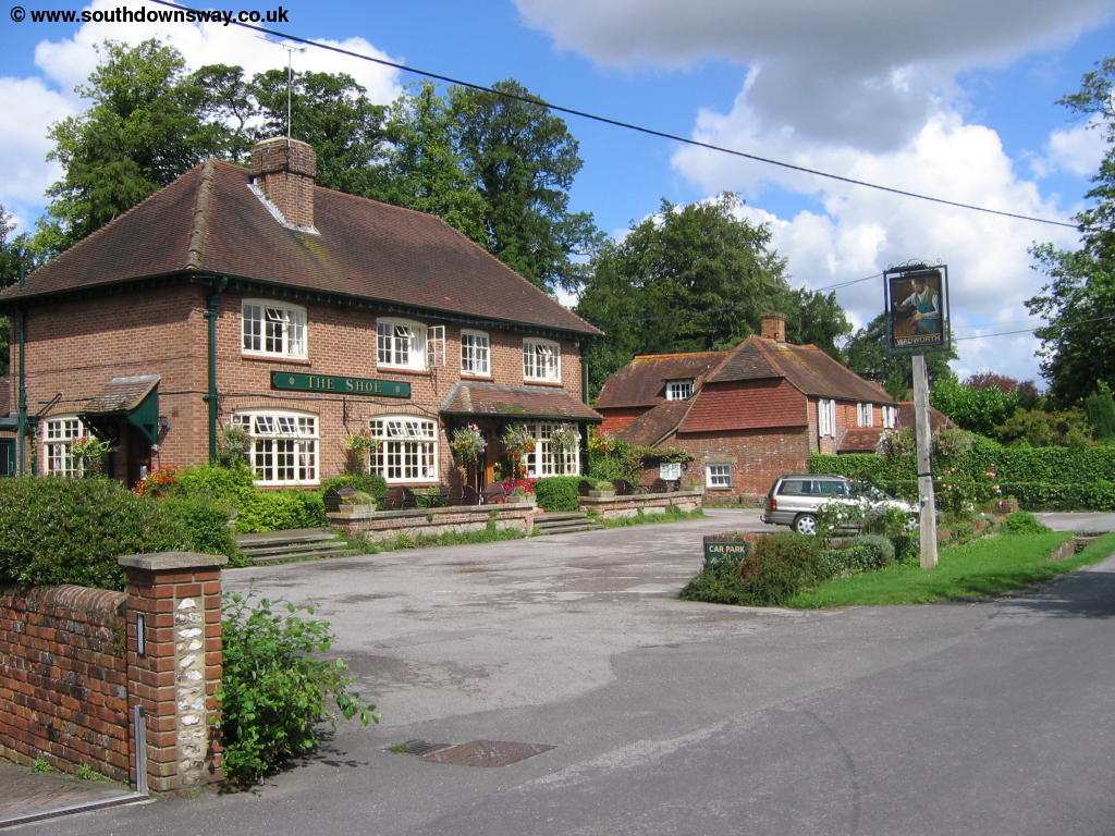
If you enter the village from the A32, cross the river Meon on the bridge, then turn right into Shoe Lane, past the pub on the left, then at the end turn left again into Church Lane, passing the Church on your right.
 |
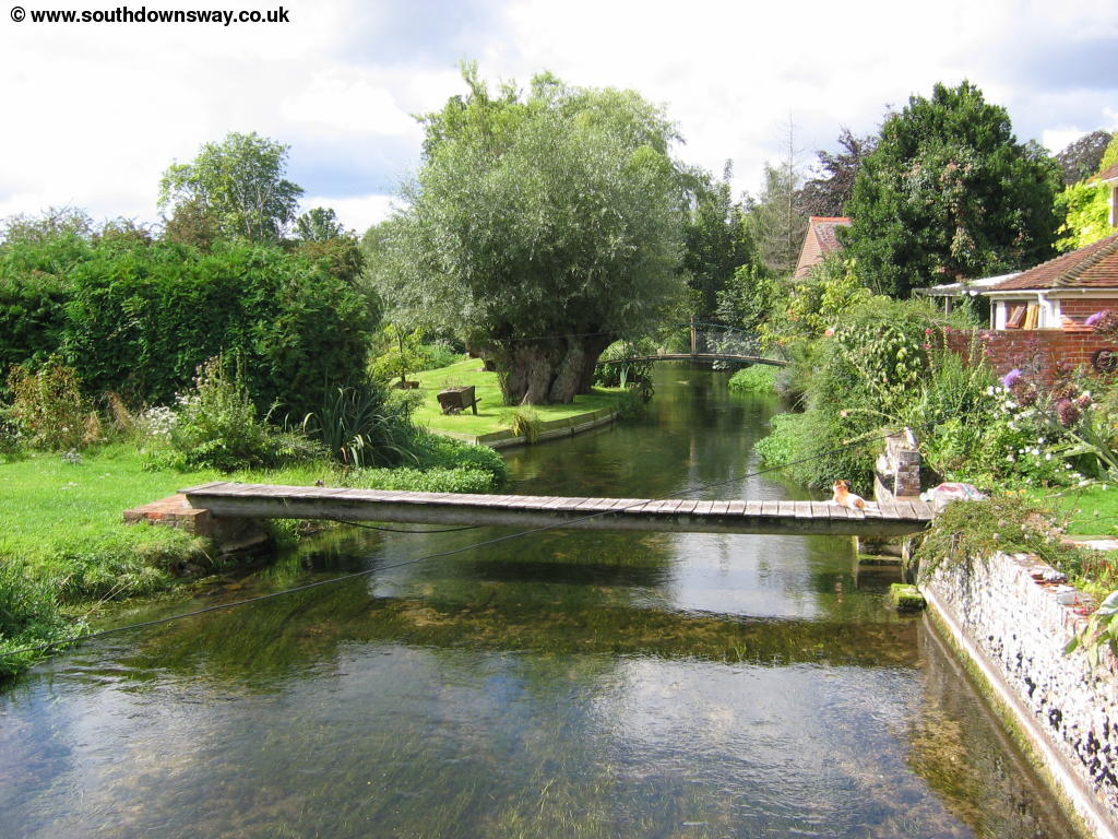 |
| Exton | The River Meon in Exton |
 |
 |
| Exton | Exton Church |
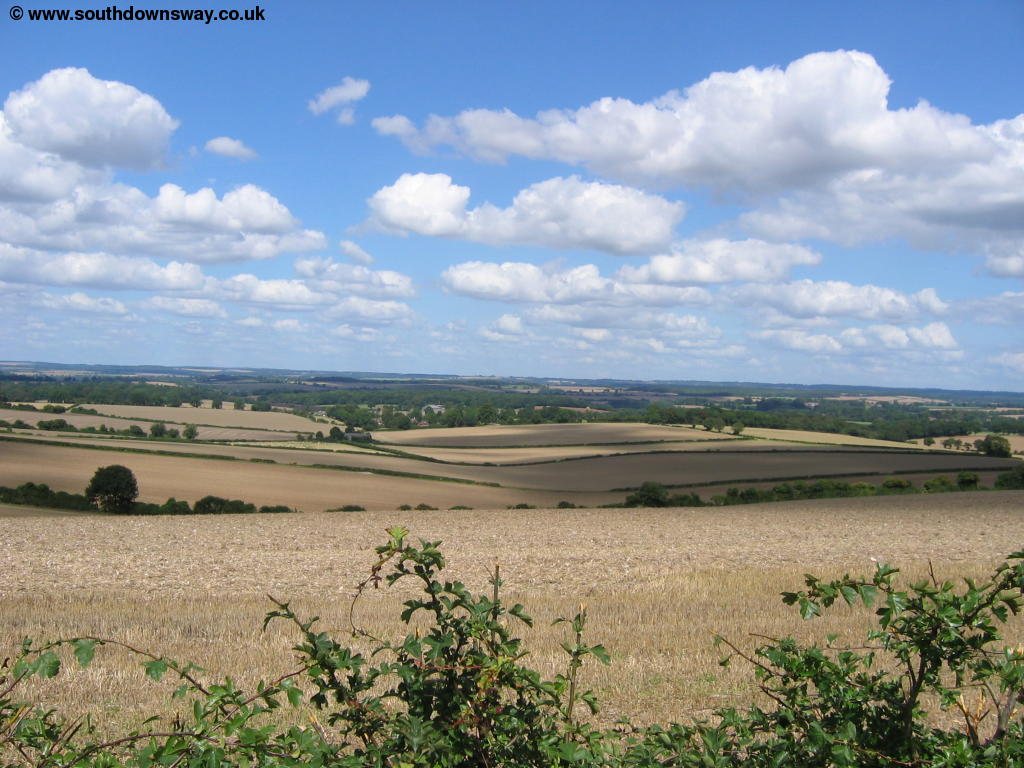
Soon you see a path off to the right after you pass the church, signed the South Downs Way which you take and then turn to the right where there are two footpaths, again where signed. The path now heads diagonally across the field and continues diagonally across the next couple of fields.
 |
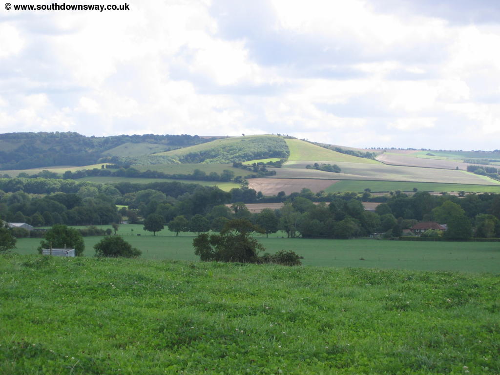 |
| The South Downs Way near Exton | View from the South Downs Way near Exton |
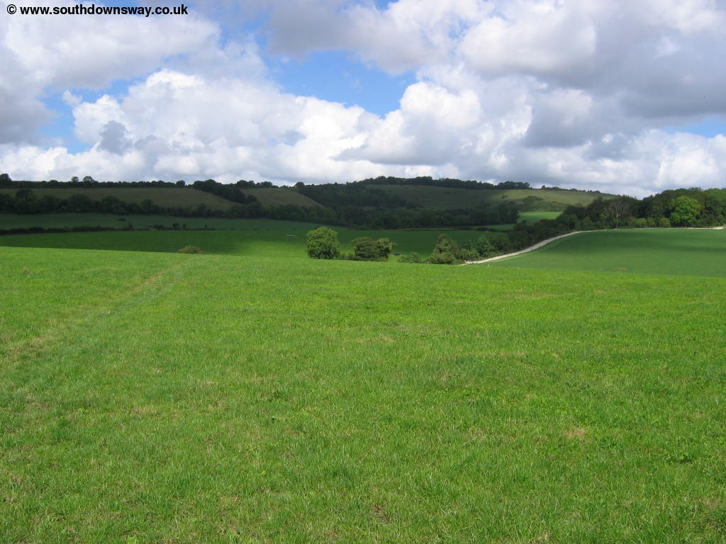
Soon the path gets much steeper as you climb up towards Beacon Hill, although the path doesn't actually go to the top of the hill. As you near the top of the path you come close to the footpath up to the top of the hill and a small car park.
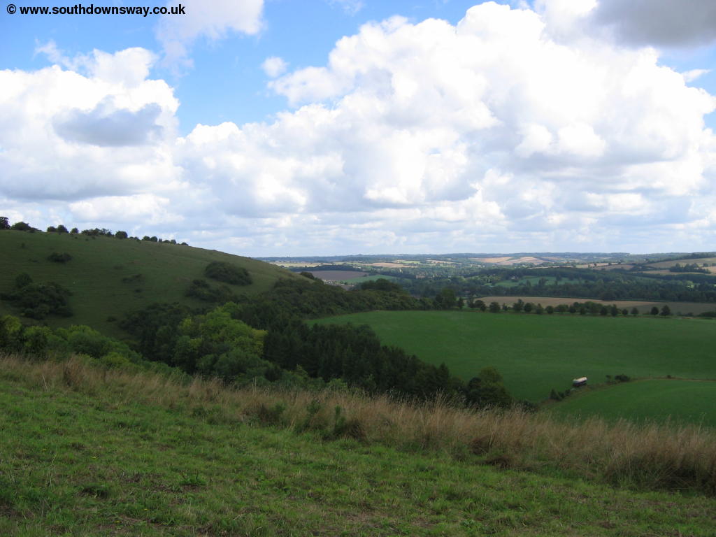 |
| The South Downs Way near Beacon Hill |
At the top of the hill the path splits, with one part of the path marked as a temporary route for cyclist and horses and the other for walkers (along the road). Don't be tempted here (as I was) to follow the cyclist route as it is in fact a diversion of the path in the other direction and takes you back towards Exton via Wheely Down Farm. The correct route is to join the road that is more or less straight on for a while before turning left down a farm track towards Lomer.
 |
 |
| The cyclists and Horse Riders part of the South Downs Way, near Beacon Hill | The cyclists and Horse Riders part of the South Downs Way, near Beacon Hill |
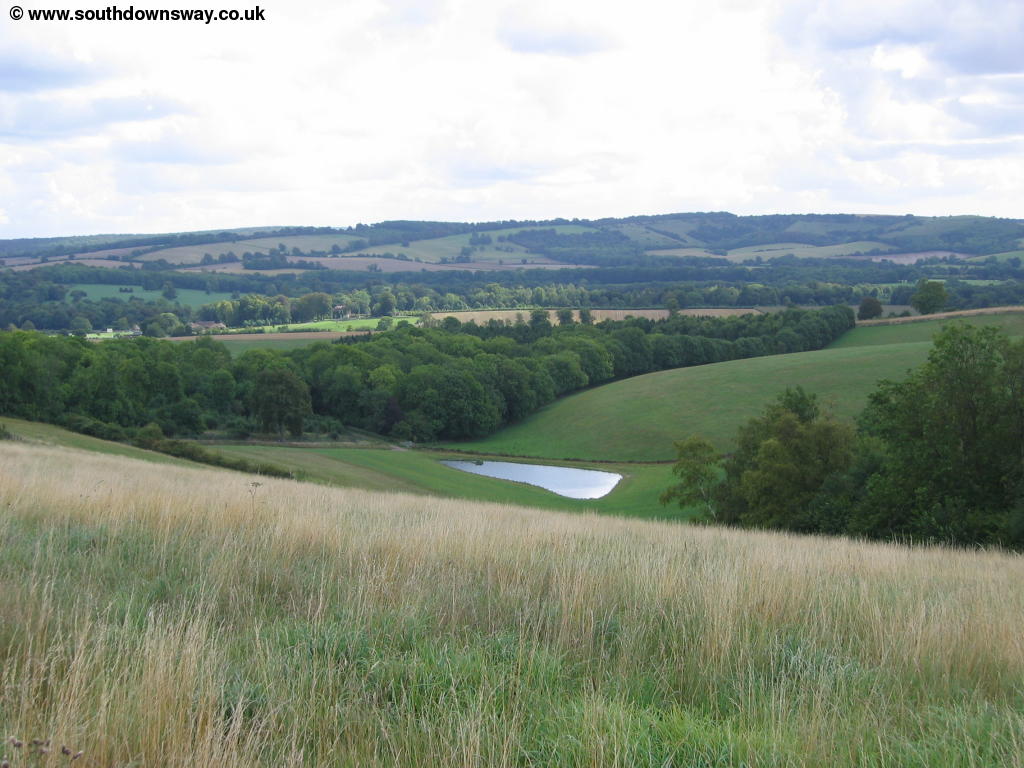
This muddy farm track pases Lomer Pond to the right and soon the site of the old village on the left. Soon you come to Lomer farm where the path goes more or less through the farm yard, but is fairly well signed. Once you pass the farm the views are excellent, especially to the North. Soon you reach a road which you cross then turn left once across, not straight on as this is the Wayfarer's Walk. Much of the walk here is on roads but they are fortunately quite quiet. Soon you get to a junction in the road, where there is a lovely old white sign post, as well as a South Downs Way sign. Continue straight on here until you get to the end of the road, where you turn right, passing the pub on the right. Turn left into the next road, passing Windmill Farm.
 |
| Near Windmill Farm |
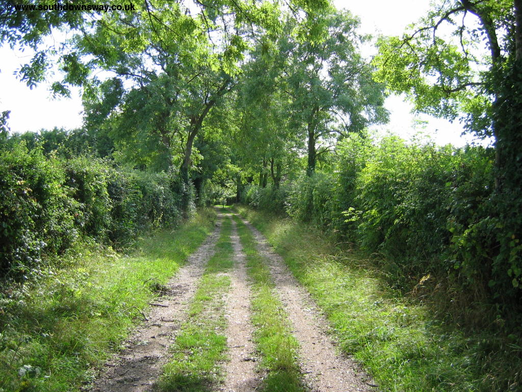
Soon the road turns off to the right, but the South Downs Way continues straight on towards Holden Farm which you pass through and then come to a road, which the path crosses, then continues straight ahead. Soon after crossing the road the path turns sharply to the right and there is a gate at the end as you get towards a group of trees. Just before you get here follow the signs carefully as the path almost doubles back on itself up the other edge of the field. The path through the gate is not the South Downs Way and will take you to Hockley Cottages and Hockley House. Here the path drops slightly under the power lines then continues up onto Gander Down with good views. Soon you cross a small lane and can see houses ahead. As you emerge onto the lane, turn left pass the houses and along a track through woods, marked as Temple Valley on the map.
 |
| Near Temple Valley |
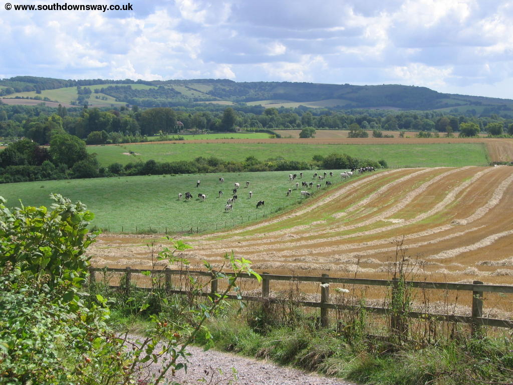
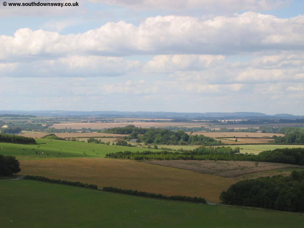
This lightly wooded path gives good views around through gaps in the hedges and trees. Soon you come to another road, near to the car park at Cheesefoot Head, crossing the road and continuing straight and then turn right in a short distance towards Telegraph Hill. The path round here gives you excellent views in all directions, including Winchester now not far away. The path then joins a track (Gipsy Lane) from the right, with the South Downs Way turning left here towards Little Golders where you then turn right towards Hillacre.
 |
| The path near Little Golders |
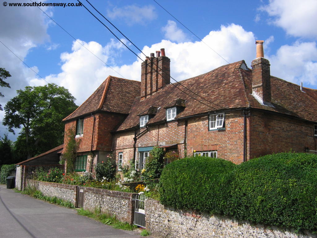
This path then comes down into the lovely village of Chilcomb, with it's lovely thatched buildings. The village very much has the impression of a place that has changed very little over the years, with a Victorian Post box in the wall in the village.
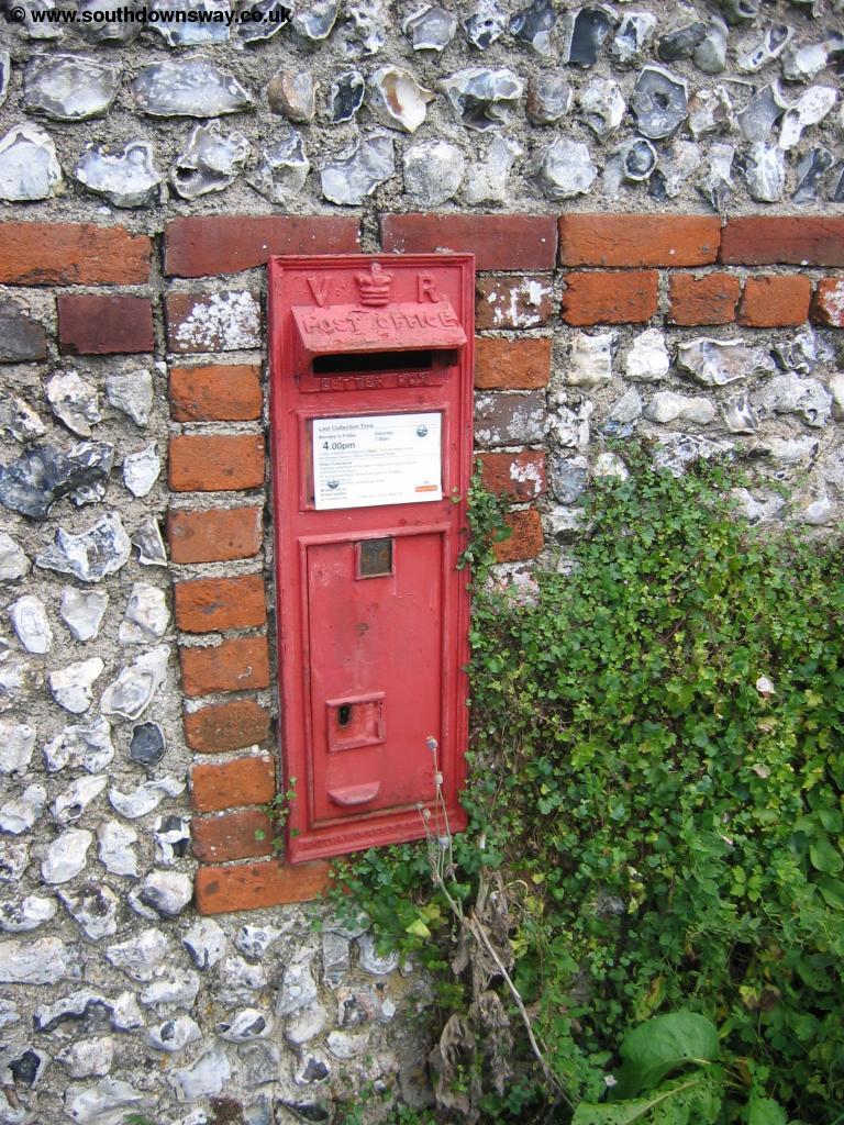 |
| A Victoria Post Box in Chilcomb |
At the junction of the roads turn right then left by the pond onto Chilcomb Lane. At the junction you take the path that goes diagonally across the fields rather than either of the two roads. Now the path is coming to the edge of Winchester and you emerge by a bridge over the M3 motorway, although you'll hear it long before you see it. Cross the bridge then turn to the right. On the grass to the side of the path once over the motorway is an information board about the South Downs Way. At the end of the path you emerge into Petersfield Road and turn left. Continue down this quiet road and at the road junction of Canute Road and Highcliffe Road you go more or less straight into East Hill and down to the main road, where you turn right (Chesil Street). The way ends as this road meets the junction at the High Street.
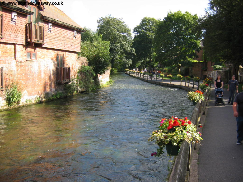
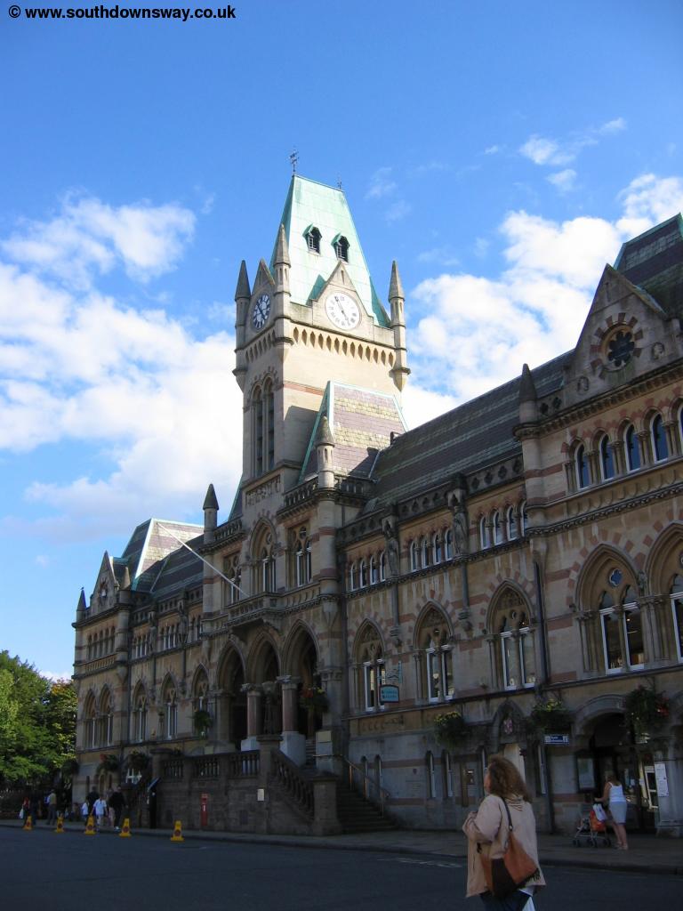
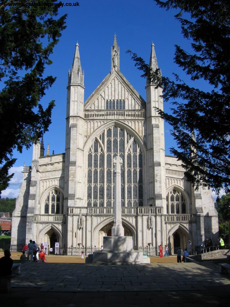
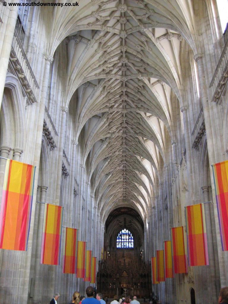
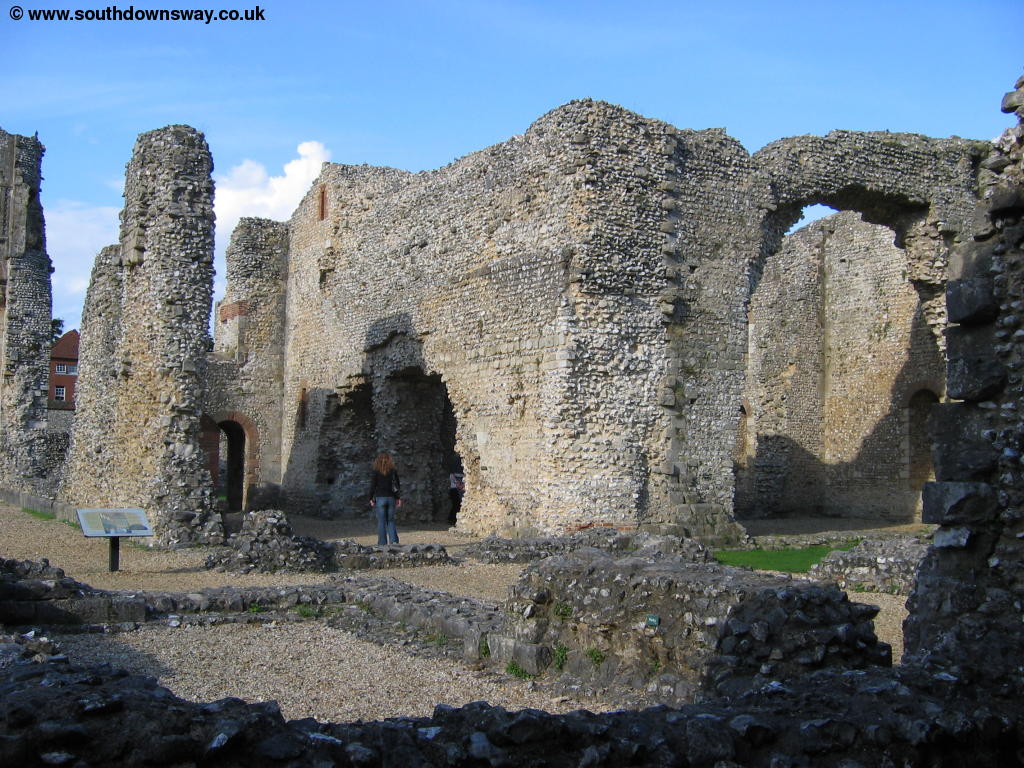
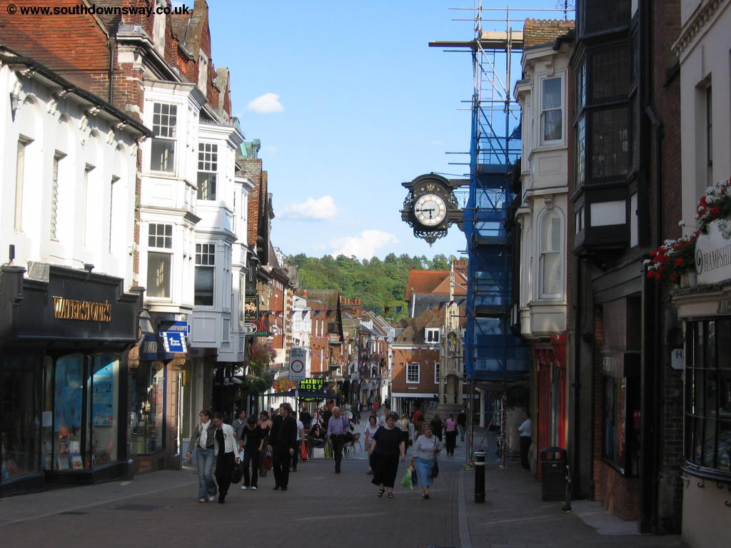
Winchester is a lovely city with a lot to see and do. As you reach the High Street you'll find the lovely bridge over the river where there is a nice park. In the Broadway is the wonderful Guildhall a huge and very grand building. Further down the road on the left is the entrance to the Cathedral Green, a lovely open space in the city centre with the beautiful cathedral. The Cathedral is a magnificent building and is normally open to the public. Continuing round the other side of the Cathedral there is Wolvesey Castle, also open to the public and with free admission. Further up the High Street is The Great Hall, also free and worth a visit.
 |
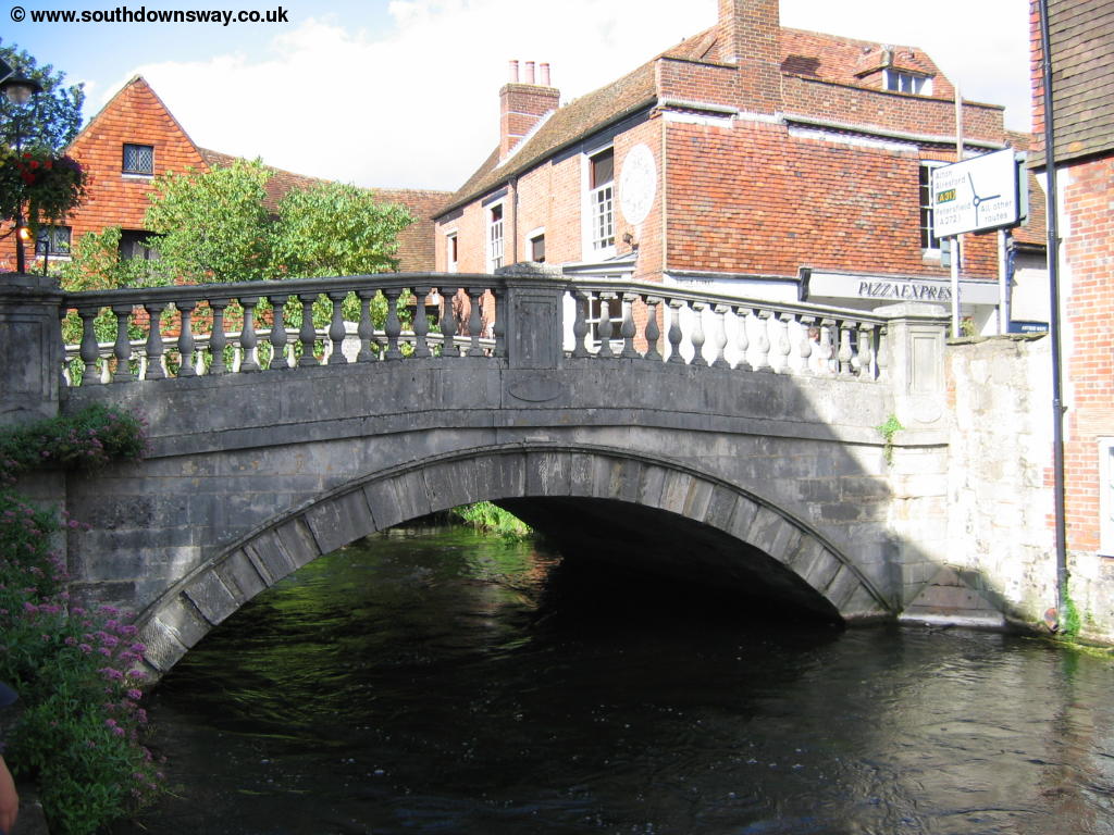 |
| The River Itchen through Winchester | A bridge over the River Itchen in Winchester |
 |
 |
| Winchester Guildhall | Winchester Cathedral |
 |
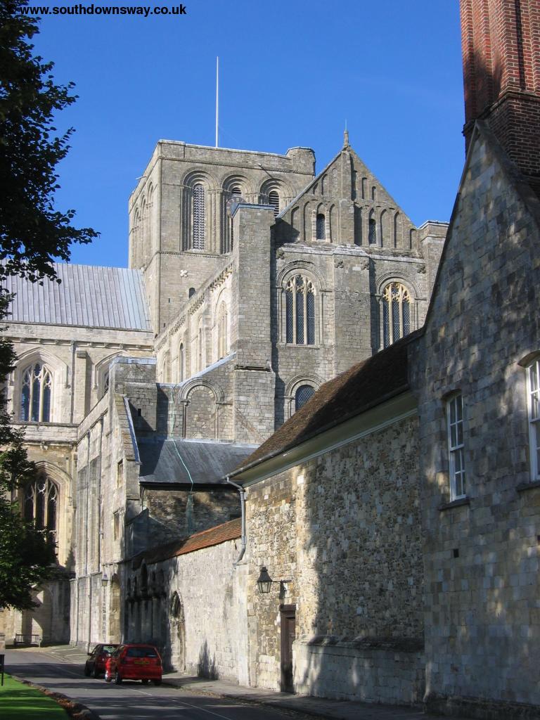 |
| Winchester Cathedral | Winchester Cathedral |
 |
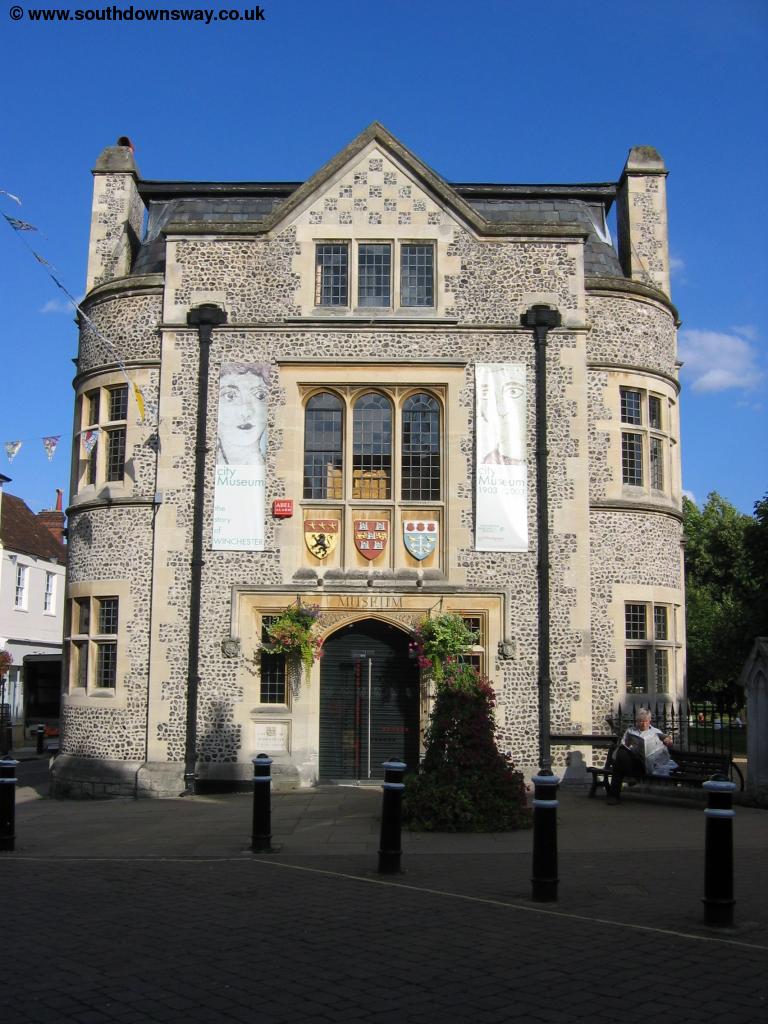 |
| Wolvesey Castle | Winchester Museum |
 |
|
| Winchester |
Getting Back
Getting back to Exton from Winchester is not especially easy. The best option is to take a bus from Winchester to Petersfield (Stagecoach route 67) and another bus from Petersfield to Exton (Solent Blue Line route 17).
If you're travelling further afield Winchester has a good train service, with frequent (typically at least hourly) trains to Eastleigh, Southampton, Portsmouth, Bournemouth, Poole, Dorchester, Weymouth, Basingstoke, Woking, London, Reading, Oxford, Leamington and Birmingham, operated by South West Trains and Virgin Trains.
Links
The following web sites provide information on the area.
Every effort is made to ensure the accuracy of information on this site, but liability will not be assumed in the event of any inaccuracies. Use of the information on this site is at your own risk. If you find any errors, please use the link below. The text and photographs on this web site are all Copyright © and may not be reproduced without prior permission.