Upper Beeding to Pyecombe |
||
| West: Washington to Upper Beeding | Back to Index | East: Pyecombe to Lewes |
Introduction
This walk begins beside the river Adur in Upper Beeding which it follows south before climbing back up onto the downs, with views over the river valley. At the top you enjoy views over the South Coast towards Brighton and to the north, soon passing the famous beauty spot of Devil's Dyke. The suburbs of Brighton are clearly visible as the path descends down to Pyecombe.
Getting to the Start
Upper Beeding is just off the A2037 and A283 and is a short distance from the A27, A23 and A24. From the A27 join the A283 near Shoreham-by-Sea and then turn right onto the A2037 which takes you to the edge of Upper Beeding. From the A23 join the A281 to Henfield, then turn left when signed onto the A2037 to Upper Beeding. From the A24 join the A283 and turn left onto the A2037 just after you cross the river. There is a small amount pf parking just off the High Stret in Upper Beeding, otherwise there is on-street parking. Note that due to the poor transport between Upper Beeding and Pyecombe consider travelling to Burgess Hill and using the bus from there to Upper Beeding then back from Pyecombe to Burgess Hill.
By public transport Upper Beeding is served by Compass Bus service 100 from Pulborough, Storrington, Henfield and Burgess Hill. This pases the stations in both Burgess Hill (on the London - Brighton Line) and Pulborough (on the Arun Valley Line) and runs hourly Monday - Saturday and once every 2 hours on Sundays. Brighton and Hove bus service 2A also runs hourly (seven days a week) to Upper Beeding from Rottingdean, Hove, Portslade, Shoreham-by-Sea, Bramber and Steyning to Upper Beeding. There are frequent trains from Bedford, Luton, St. Albans, London, East Croyden, Gatwick Airport, Haywards Heath and Brighton to Burgess Hill (operated by Southern and Thameslink). Pulborough is served by Southern services from London Victoria, East Croyden, Redhill, Gatwick Airport, Horsham, Arundel, Barnham and Bognor.
The Walk
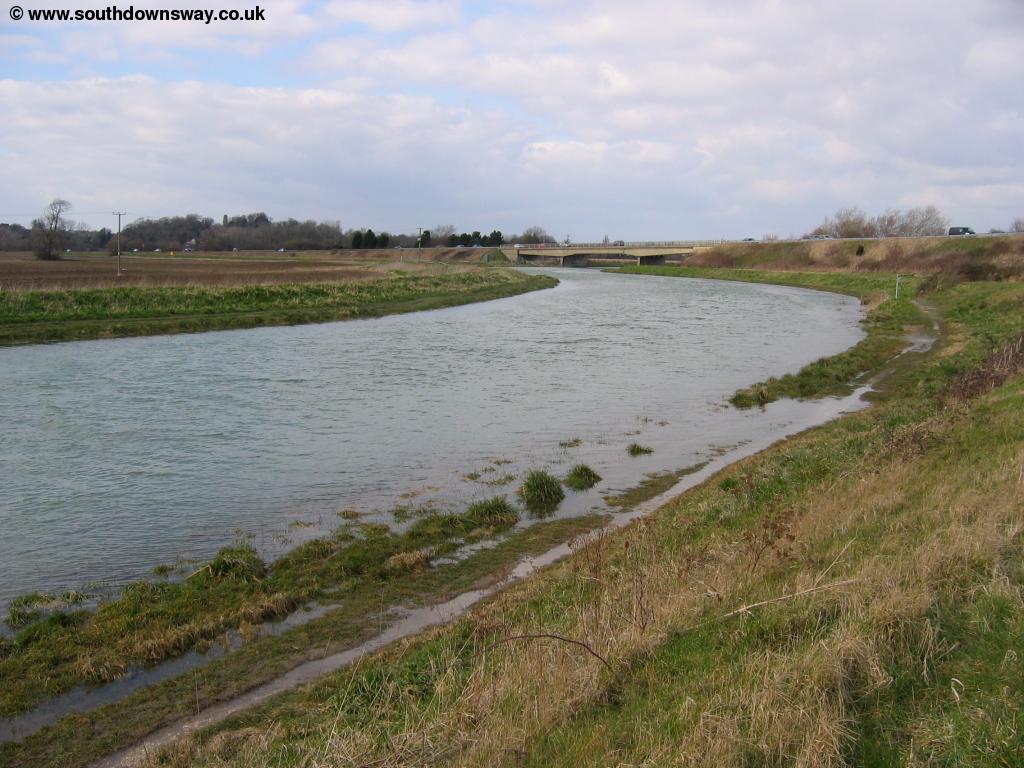
From the pleasant town of Upper Beeding walk down the High Street to the river Adur bridge and join the path beside the river heading South. There is a path on either side of the river and a bridge where the South Downs Way crosses, so you can walk on either bank of the river. I chose to walk on the east side of the river, having walked on the west side to get to Upper Beeding previously.
 |
 |
| The River Adur in Upper Beeding | The River Adur |
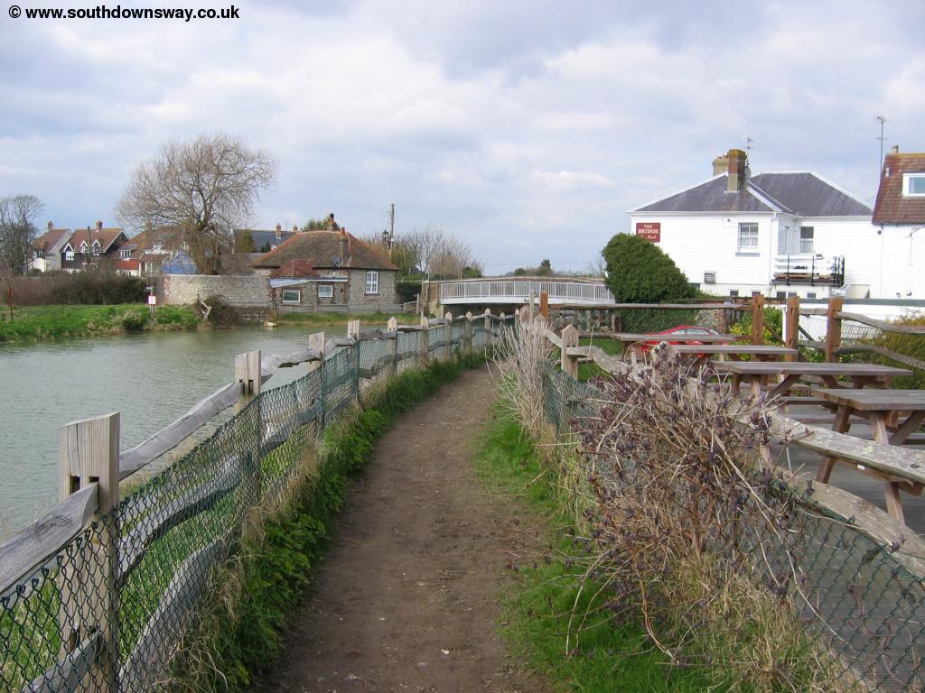
Soon you pass under the under the A283 bridge where the river then becomes more peacuful. It is common for the river to be flooding the banks, so you may find the path is quite wet and muddy in places. Look out for the church near the river at Botolphs. Soon you can see a bridge ahead, and beyond it a disused quarry and some houses. The South Downs Way cross on this bridge, so climb onto the bridge and then turn left (don't cross the bridge). As the path gets to the busy road you turn left, walking next to the road for a short distance. Soon you come to a layby on the road and look out for the sign that directs you across the road. Be careful here, as it's a busy road. Cross to the layby on the other side, then the path climbs past fields on either side away from the road, offering stunning views of Upper Beeding, Bramber and the river Adur below you.
 |
 |
| The path climbs away from the river Adur | Looking back to the River Adur and Upper Beeding |
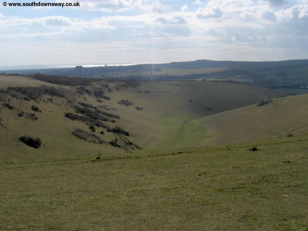
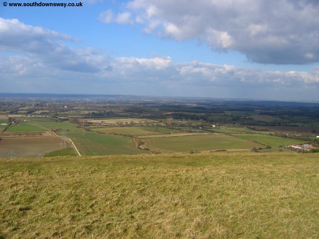
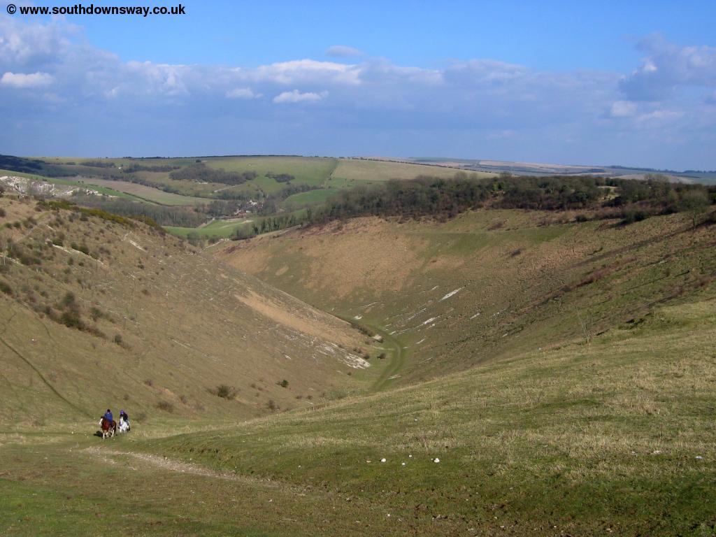
As you reach the top you have beautiful views of Anchor Bottom to the south and beyond to the coast of Shoreham-by-Sea.
 |
 |
| Anchor Bottom and the coast beyond | View from near Beeding Hill |
You get to a small car park at the top of the hill and from here the path now follows next to this road for a while. To the right another path, the Monarch's Way heads towards Portslade-By-Sea. The path next to the road is a little warn and narrow so you may find it easier to walk on the road - there is very little traffic.
 |
 |
| View from Beeding Hill | The entrance to Shoreham Harbour below |
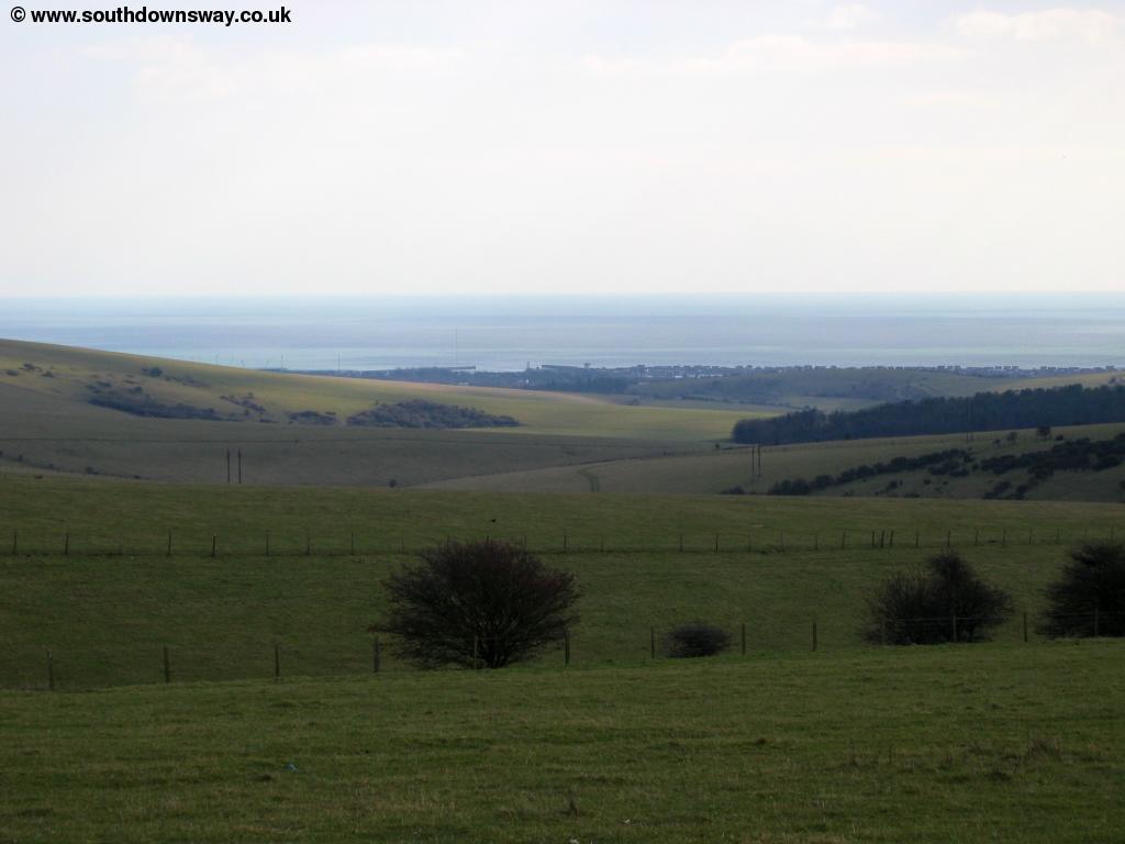
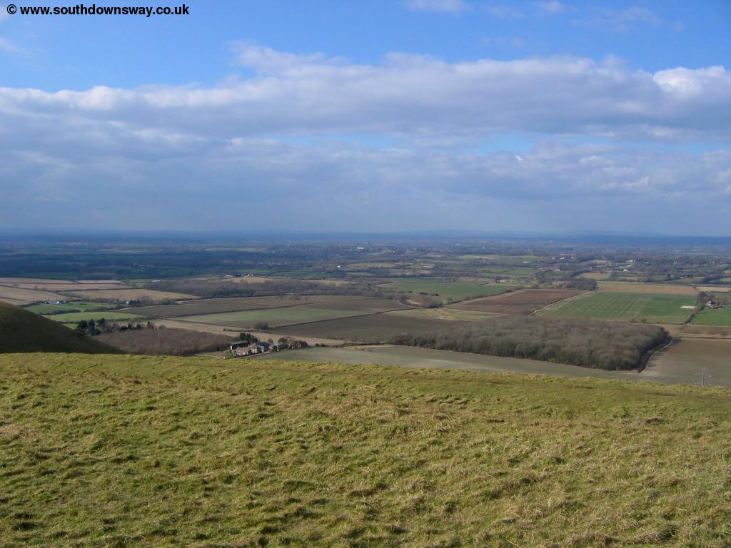
Soon you reach the top of the road where there a few houses. Here the road now becomes gravel and mud, but continues to Torrington Barn, a few houses and a youth hostel. The top of the hill has several radio masts spoling the view ahead a bit, but from here you do get excellent views of the coast to the south.
 |
 |
| Brighton in the distance | View of the coast |
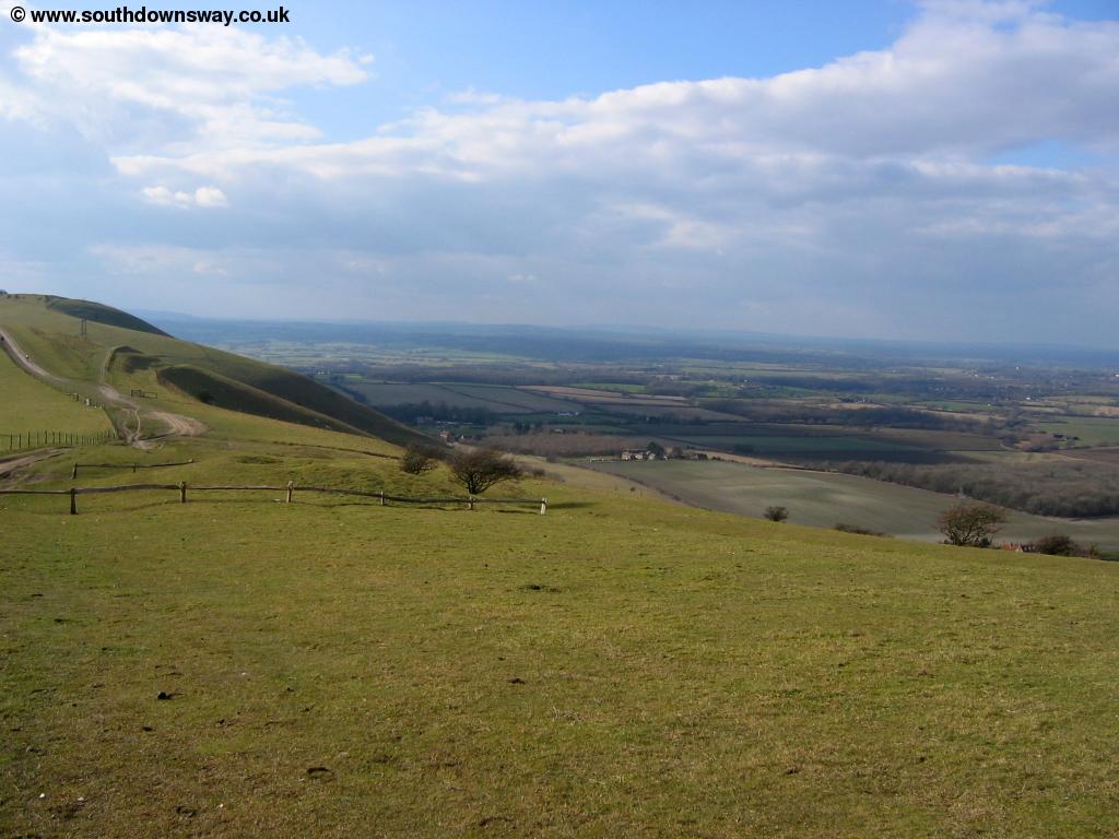
Soon the path passes Truleigh Hill Barn then descends to the left towards Erburton Hill, where you enter the National Trust land of Fulking Escarpment. From the top of Edburton Hill there are lovely views in all directions.
 |
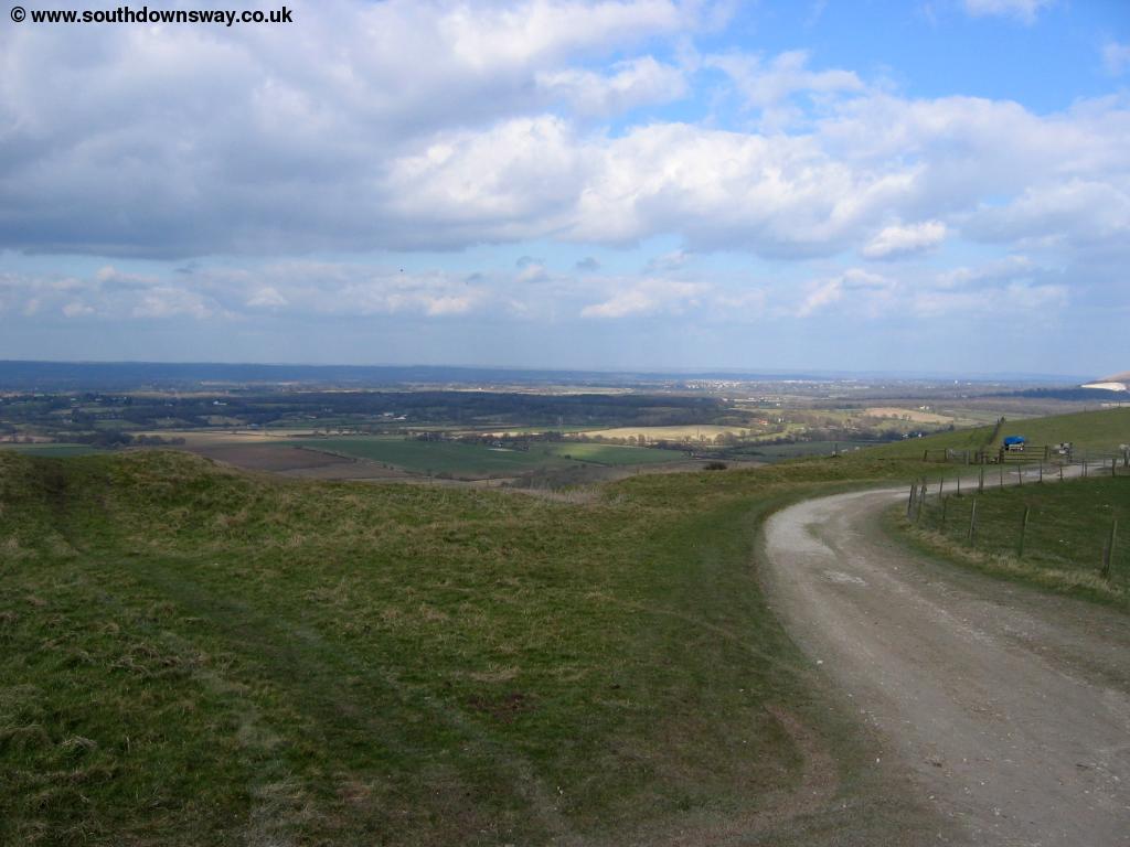 |
| Looking north from Edburton Hill | Edburton Hill |
 |
|
| Looking north from Edburton Hill |
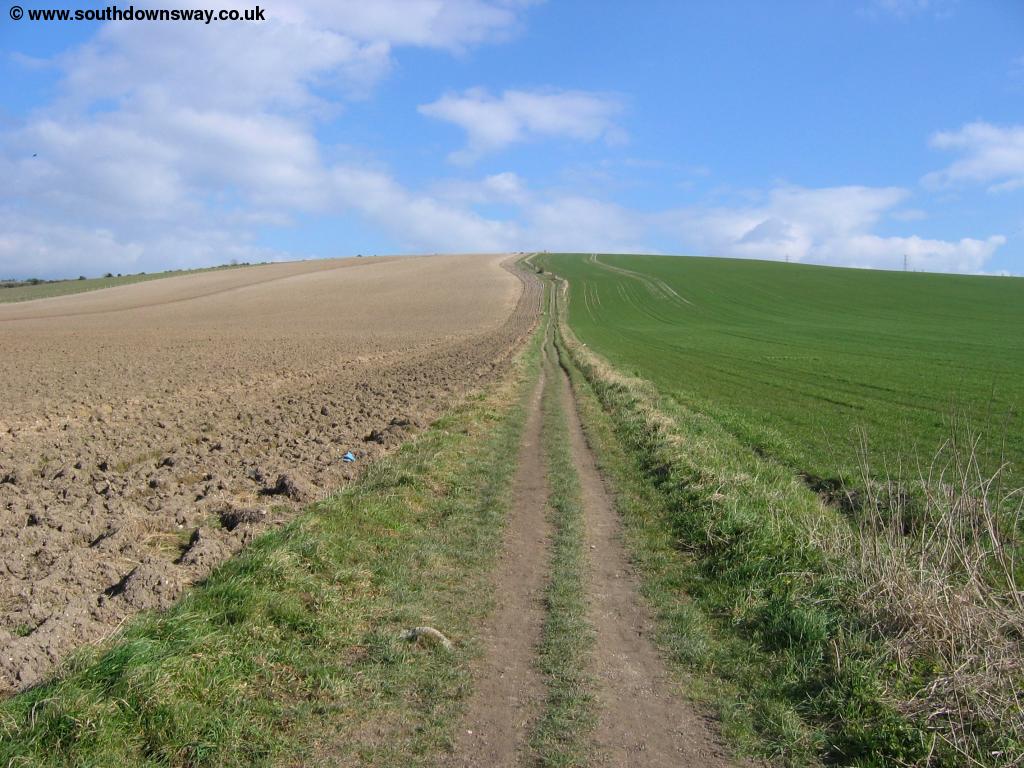
From the top of the hill the path turns slightly to the right (not down the valley) round the top of another hill where there is evidence of an old castle. Soon the path is heading towards another hill, Perching Hill though sadly power lines run down the valley.
 |
| Near Perching Hill |
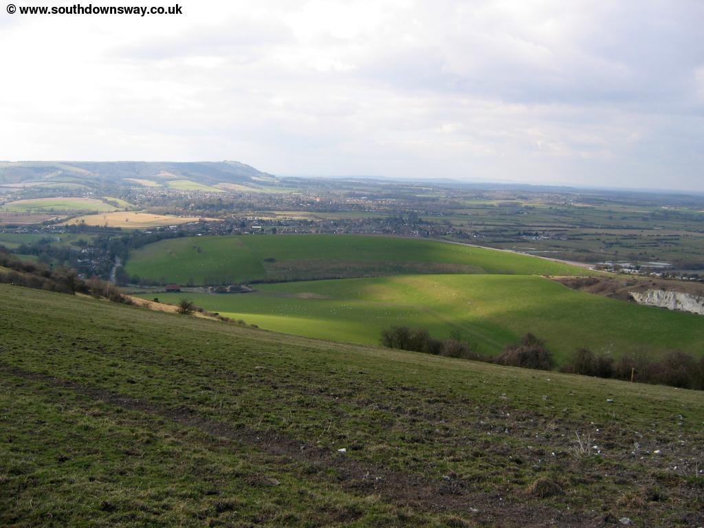
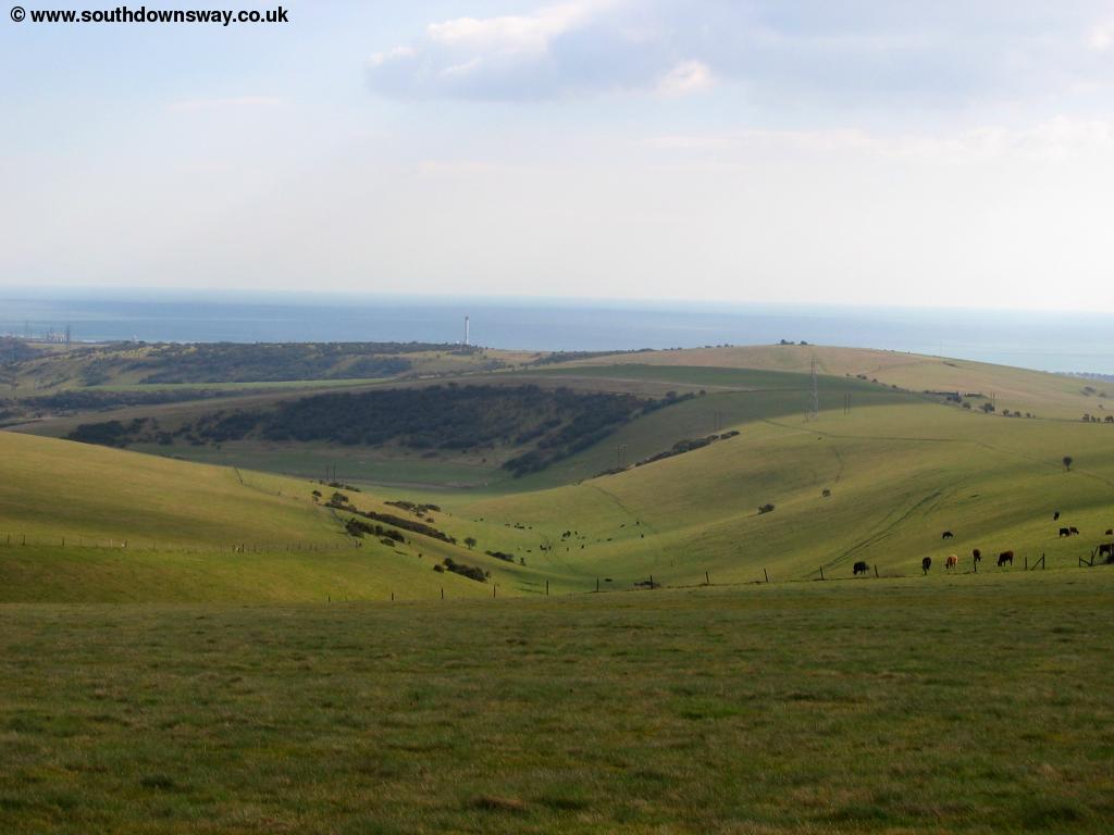
Continue over the top of the hill where you get views of the village of Fulking below and the hills around Devil's Dyke ahead.
 |
 |
| Fulking | Looking back |
 |
|
| Hills towards Devil's Dyke |
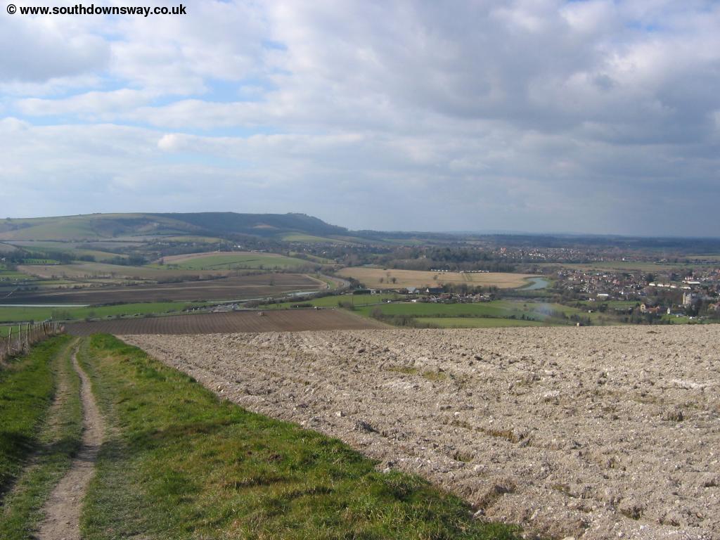
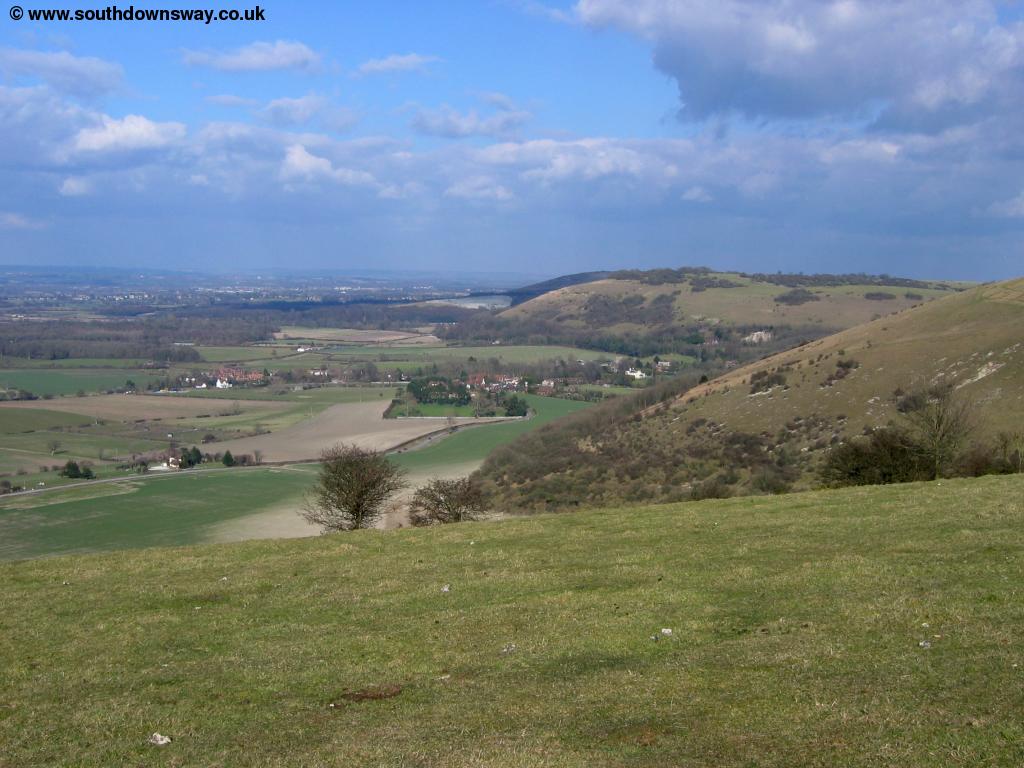
The path soon descends Perching Hill and then heads to the next hill, Fulking Hill. The path is well-signed although there is a network of other footpaths in this area. From Fulking Hill you have excellent views towards Brighton and the coast to the south and the hills at Devil's Dyke ahead.
 |
| Brighton |
As you descend from Fulking Hill you're heading towards the famous beauty spot of Devil's Dyke, the world's deepest dry valley. Here you'll find a cafe, toilets and hotel (and a large car park), although the path doesn't actually go up to these. Instead, you can see a path to the left up to the top of the hill and another further to the right. It's this second path you should take, avoiding the buildings, though if you can spare the time it's worth taking the other path to the top too. The path comes to a small road which you cross then into some trees before you get stunning views down into the valley.
 |
 |
| Devil's Dyke | Near Devil's Dyke |
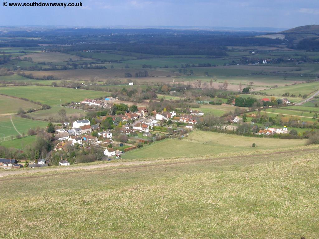
As you pass round Devi's Dyke you come to another smaller car park before the path begins to descend down to the pleasant village of Saddlescombe below. Soon you come to the road, which you cross and then come to the edge of the village, with it's pond and attractive buildings.
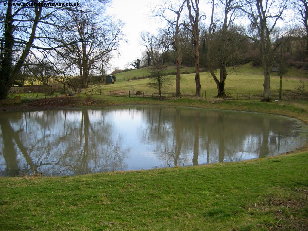 |
| Saddlescombe Pond |
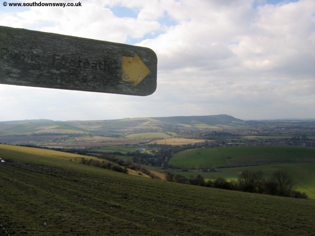
The path continues along the road through the village and then climbs up through trees back onto the top of the downs. The Sussex Border path goes off to the right, indicating we are now moving from West Sussex to East Sussex.
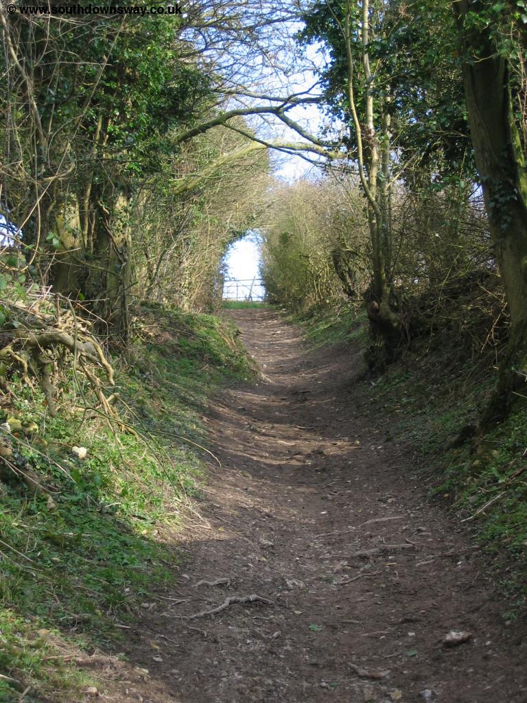 |
| The path out of Saddlescombe |
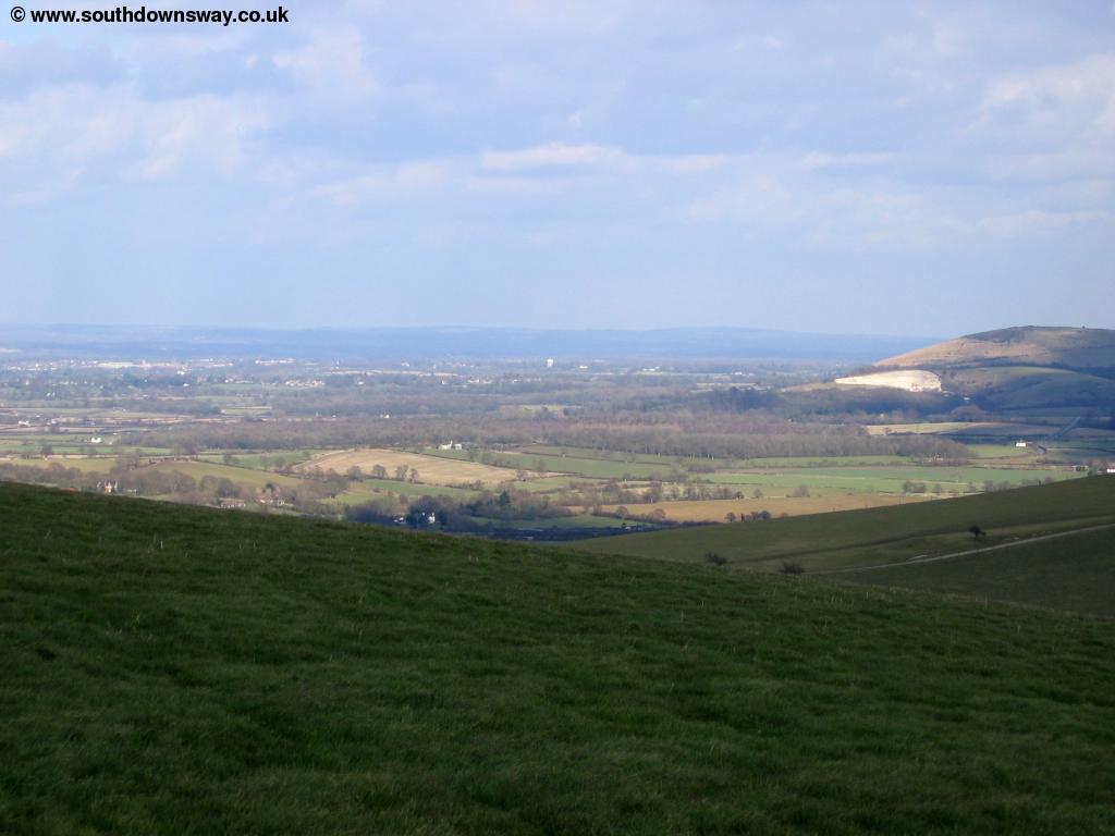
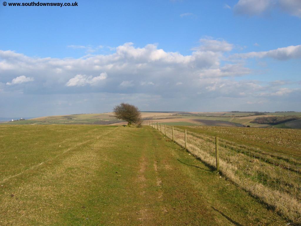
The path now climbs to the top of West Hill, offering lovely views over the surrounding countryside and to Pycombe below.
 |
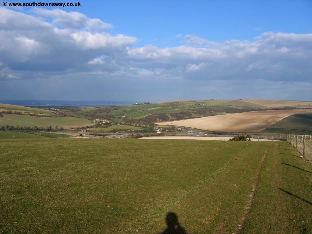 |
| West Hill | View towards Pyecombe |
From the top of West Hill you can see the Jack and Jill windmills on the path ahead. The path now descends on a path (muddy in places) towards the busy roads. Pyecombe itself is rather squashed in between the A23 (London - Brighton Road) and the A272. As you descned you come close to the road, but turn left next to the road to get to the bridge over it which the path crosses and then goes into Pyecombe. Despite the noise of the road, Pyecombe is a lovely village with an unusual church.
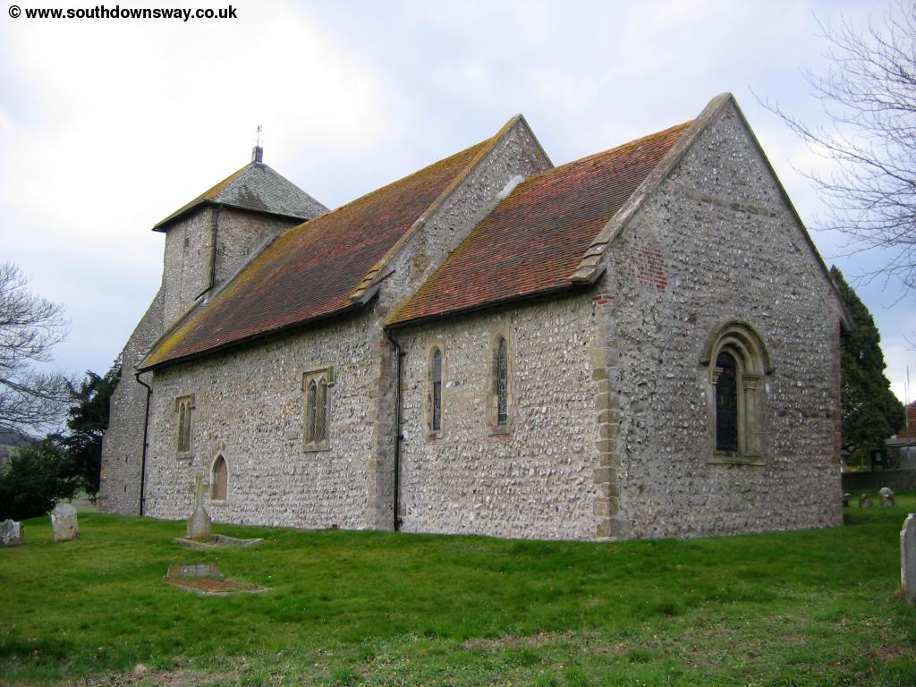 |
| Pyecombe Church |
Getting Back
To get to the bus stop from Pyecombe head south towards the A23 where there is a garage (most of which now seems to be derelict). The bus stop for north-bound buses on the A273 whilst the south-bound stop is near the garage on a small road that connects the A23 and A273 next to the garage. From here Compass Bus route 40 runs hourly (Monday - Saturday) to Brighton, Hassocks, Burgess Hill, Wivelsfield, Haywards Heath and Cuckfield. On Sundays Pyecombe is served by Metrobus service 87 to Brighton, Hurstpierpoint, Hassocks, Burgess Hill, Wivelsfield and Haywards Heath. Metrobus service 273 also runs from Pyecombe approximatly once every 2 hours (Monday - Saturday) to Brighton, Hassocks, Hurstpierpoint, Albourne, Hickstead and Crawley. To get to Upper Beeding you need to get a bus to Burgess Hill then change buses in Burgess Hill (see Getting to the Start for details of these buses). There are stations (all on the London - Brighton main-line) served by these buses at Brighton, Preston Park (Brighton), Hassocks, Burgess Hill, Wivelsfield and Haywards Heath with trains operated by Thameslink and Southern.
Links
The following web sites provide information on the area.
Every effort is made to ensure the accuracy of information on this site, but liability will not be assumed in the event of any inaccuracies. Use of the information on this site is at your own risk. If you find any errors, please use the link below. The text and photographs on this web site are all Copyright © and may not be reproduced without prior permission.